
Tackling Unique Challenges in Land Surveying
Surveying is all about problem-solving. Each project presents a new puzzle, requiring surveyors to adapt, innovate, and find the best solutions. Whether it's boundary work, topographic surveys, or advanced 3D scanning, our field demands flexibility and technical expertise.
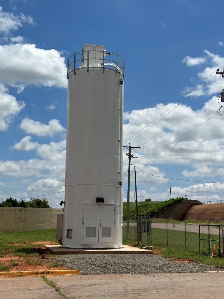
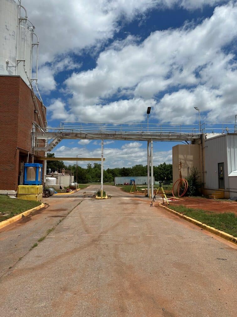
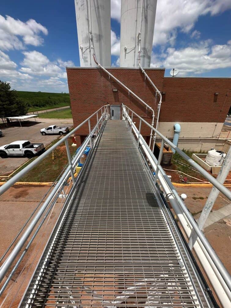
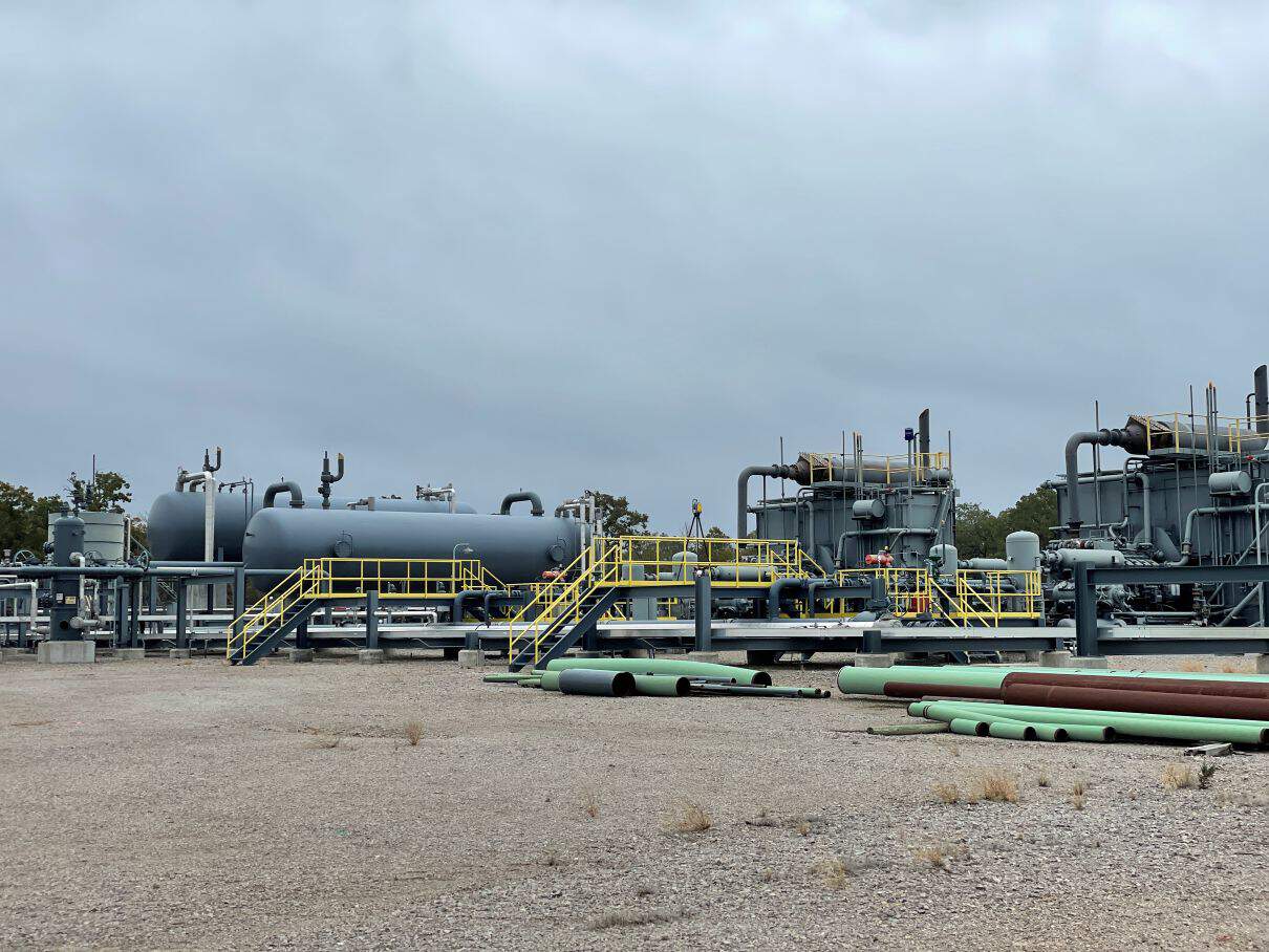
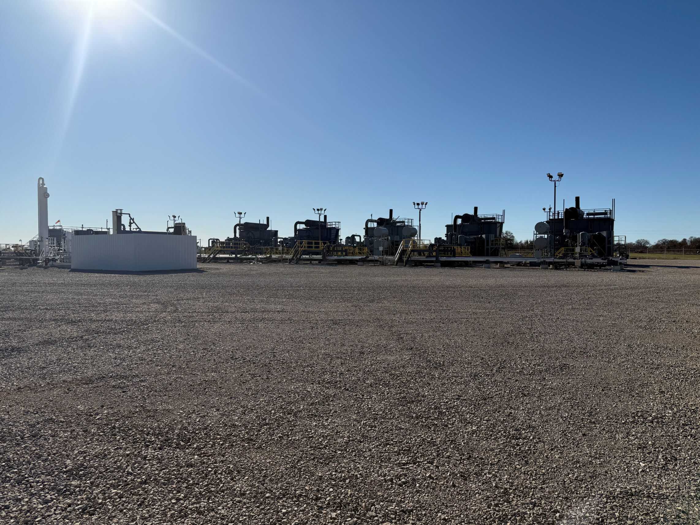
Recently, I was approached by a client who had acquired an inactive oil and gas facility. Their objective was to relocate the entire operation to a different site for better efficiency. To do so, they needed precise measurements of all existing infrastructure—including pipelines, support structures, and concrete foundations—to facilitate an accurate and seamless reconstruction.
Relocating an Industrial Site: The Technical Hurdles
Executing a 3D Terrestrial Survey
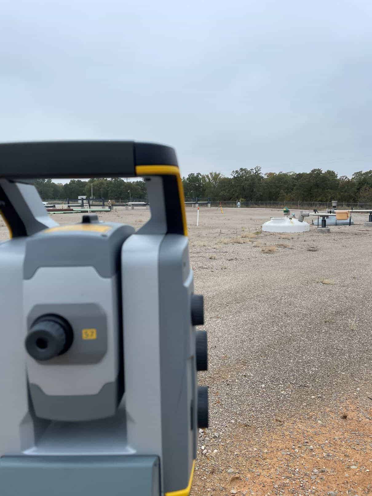
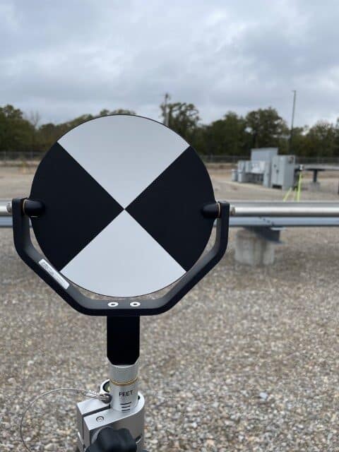
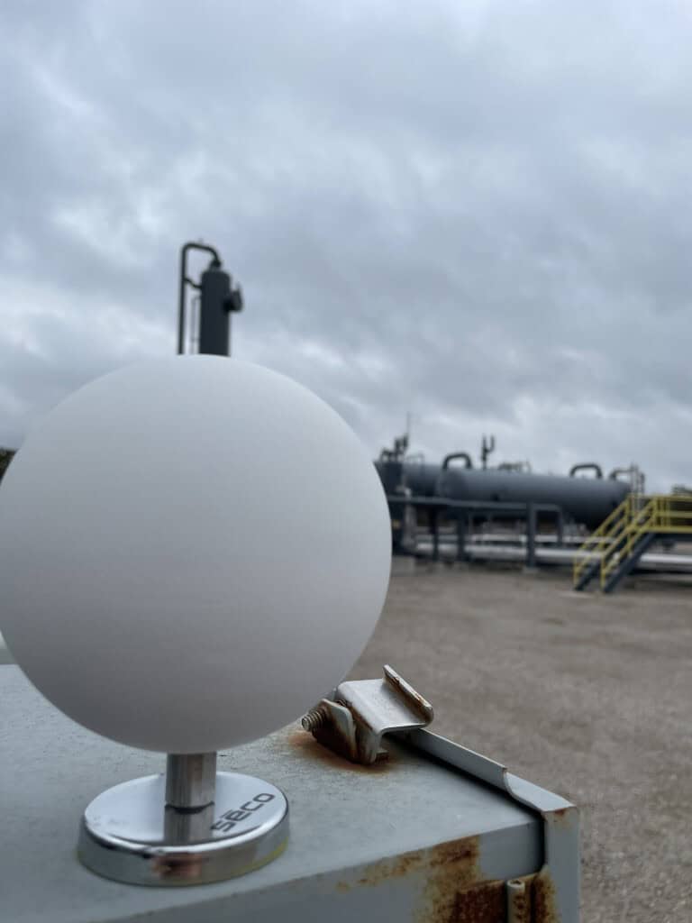
Key Advantages of 3D Scanning for Facility Relocation:
- Deliver millimeter-level accuracy – Nothing was left undocumented, ensuring complete data for relocation.
- Map intricate infrastructure layouts – Particularly important for aligning pipeline supports and foundations in the new location.
- Create a digital twin for planning – Engineers could virtually assess potential challenges before any physical work began.
From Scan to Actionable Insights
Once the scans were processed, I generated detailed reports and 3D visualizations, allowing the client to:
- Catalog all pipes, equipment, and structural supports.
- Develop a step-by-step disassembly and reinstallation plan.
- Minimize unexpected delays by identifying potential conflicts in advance.
Additionally, a set of precise survey drawings was created to guide the reconstruction process. Once site grading was completed at the new location, we staked out the positions for new piers and foundations, ensuring that all components were accurately placed during reassembly. The project was successfully completed, with the facility reconstructed precisely according to the scan data.
The Future of Industrial Surveying with 3D Technology
This project reaffirmed the value of modern surveying techniques in complex industrial applications. Without 3D terrestrial scanning, manually measuring and documenting each component would have been labor-intensive and prone to errors. Instead, the client benefited from a data-rich, highly accurate digital model, streamlining the entire relocation process.
Surveying is evolving, and projects like this demonstrate the growing importance of precise, technology-driven solutions. Whether it’s site relocations, infrastructure mapping, or large-scale industrial projects, utilizing the right tools and expertise makes all the difference.
Unlock the Power of 3D Scanning for Your Next Project
Planning a facility relocation or complex industrial survey? Leverage high-precision 3D scanning for seamless, data-driven results. Contact us today to discuss your project!