What is an Elevation Certificate?
Elevation Certificates are a valuable tool provided by the National Flood Insurance Program (NFIP), which is managed by the Federal Emergency Management Agency (FEMA). These certificates document a building’s First Floor Height (FFH) relative to the expected flood levels, playing a crucial role in floodplain management. Using Elevation Certificates, property owners can ensure compliance with local floodplain regulations and potentially lower their flood insurance costs. The NFIP uses these certificates to reduce the impact of flooding and aid disaster recovery efforts.
Why Do I Need an Elevation Certificate?
Homeowners and property developers often require Elevation Certificates to accurately determine their property's risk of flood damage. These certificates are essential for anyone living in or developing property within a designated floodplain. By documenting the elevation compared to the floodplain, these certificates help property owners obtain or verify the accuracy of their flood insurance rates, ensuring they are fair and reflective of the actual risk. Furthermore, local building authorities may require these certificates to grant building permits or verify compliance with floodplain management ordinances designed to mitigate the risk of flooding. Obtaining an Elevation Certificate can also be a proactive measure for any property owner looking to effectively assess and manage potential flood risks.

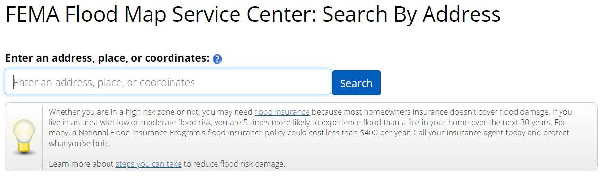
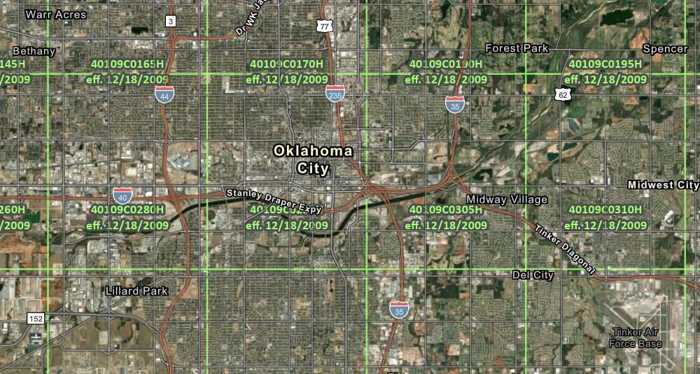
Understanding the SFHA for your Property
FEMA has an excellent flood map service center that can provide you with details on the current designations in your area.
There are many instances where elevation certificates already exist for a property, and there is no need to complete a new one. Check with:
- Your local floodplain manager. Every NFIP-participating community has a floodplain manager, which may also be called the local stormwater manager, environmental manager, or environmental office.
- A property's former owner may have copies of an existing certificate.
- A developer or builder may have been required to get an elevation certificate during construction.
Some local resources include:
Quote
Understanding Flood Zone Designation and Elevation Certificate Terminology
- FEMA - The Federal Emergency Management Agency has a broad list of responsibilities. One of which is managing the National Flood Insurance Program.
- FFH - First Floor Height is the lowest enclosed area within the structure. This could also include a basement and is sometimes referred to as the "finished floor."
- LOMA - A Letter of Map Amendment is a letter from FEMA stating that an existing structure or parcel of land — that is on naturally high ground and has not been elevated by fill — would not be inundated by the base flood.
- LOMC - A Letter of Map Change is an application to FEMA for a formal determination of the property's location and/or elevation relative to the SFHA.
- LOMR - A Letter of Map Revision Based on Fill is A letter from FEMA stating that an existing structure or parcel of land has been elevated by earthen fill and would not be inundated by the base flood.
- NFIP - The National Flood Insurance Program is a public network of more than 50 insurance companies managed by FEMA. More information on this can be found at NFIP DIRECT.
- SFHA - A Special Flood Hazard Area has a one percent or greater chance of flooding in a given year, sometimes referred to as the one-percent-annual-chance flood or base flood.