Why Land Surveyors Are Essential for LiDAR and 3D Scanning Success
The world around us is constantly evolving, driven by rapid development and technological innovation. Amid this progress, one profession has consistently laid the foundation for growth and transformation—land surveying. Surveyors are not only the stewards of property boundaries and accurate mapping but are also at the forefront of cutting-edge technologies like Light Detection and Ranging (LiDAR) and 3D terrestrial scanning.
While the tools and methods of surveying have changed dramatically over time, one truth remains: no technology can replace the expertise, precision, and responsibility of a licensed land surveyor. In this post, I’ll highlight how the skills and qualifications of land surveyors make them uniquely equipped to ensure the success of LiDAR and 3D scanning projects.

Land Surveyors: The Guardians of Accuracy
Land surveyors have been integral to the development of human civilization for centuries. From delineating boundaries for agriculture and trade to creating precise maps for modern infrastructure, their work forms the backbone of progress.
- Why This Matters for LiDAR: Unlike untrained operators of scanning equipment, surveyors have a deep understanding of geospatial data, coordinate systems, and the legal implications of their measurements. This ensures that every LiDAR point cloud or 3D model is tied to reality with absolute precision.
- Bridging Technology and Expertise: Surveyors bring specialized training and contextual knowledge to interpret data accurately. This expertise ensures results are tailored to project needs, providing clients with actionable insights and confidence in the outcomes.
The Game-Changer: Aerial LiDAR in the Hands of Surveyors
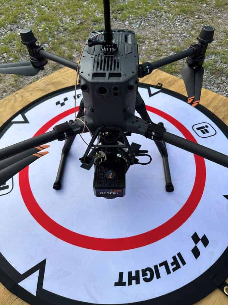
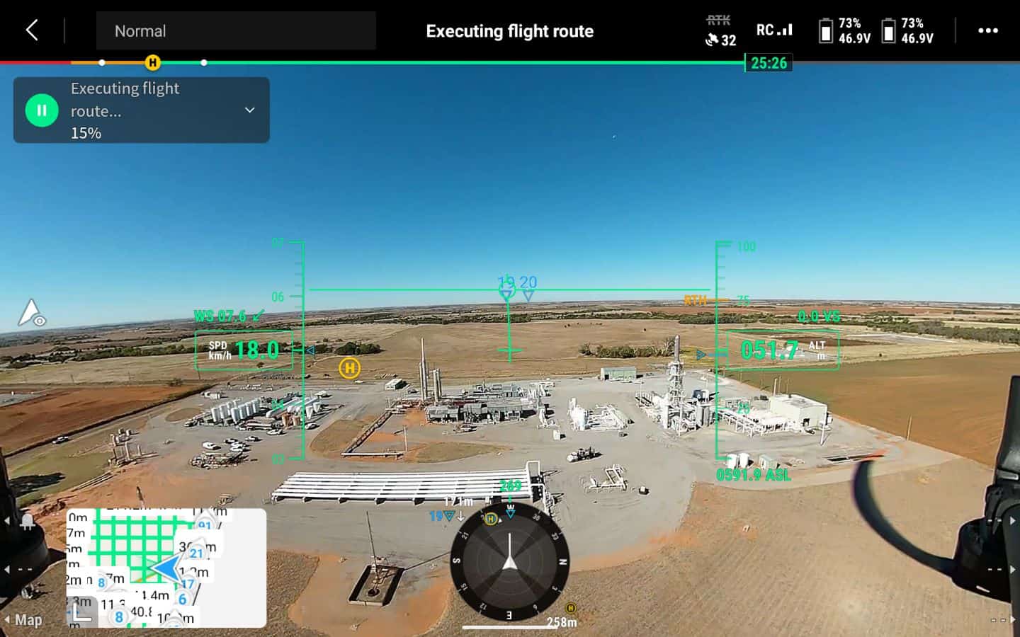
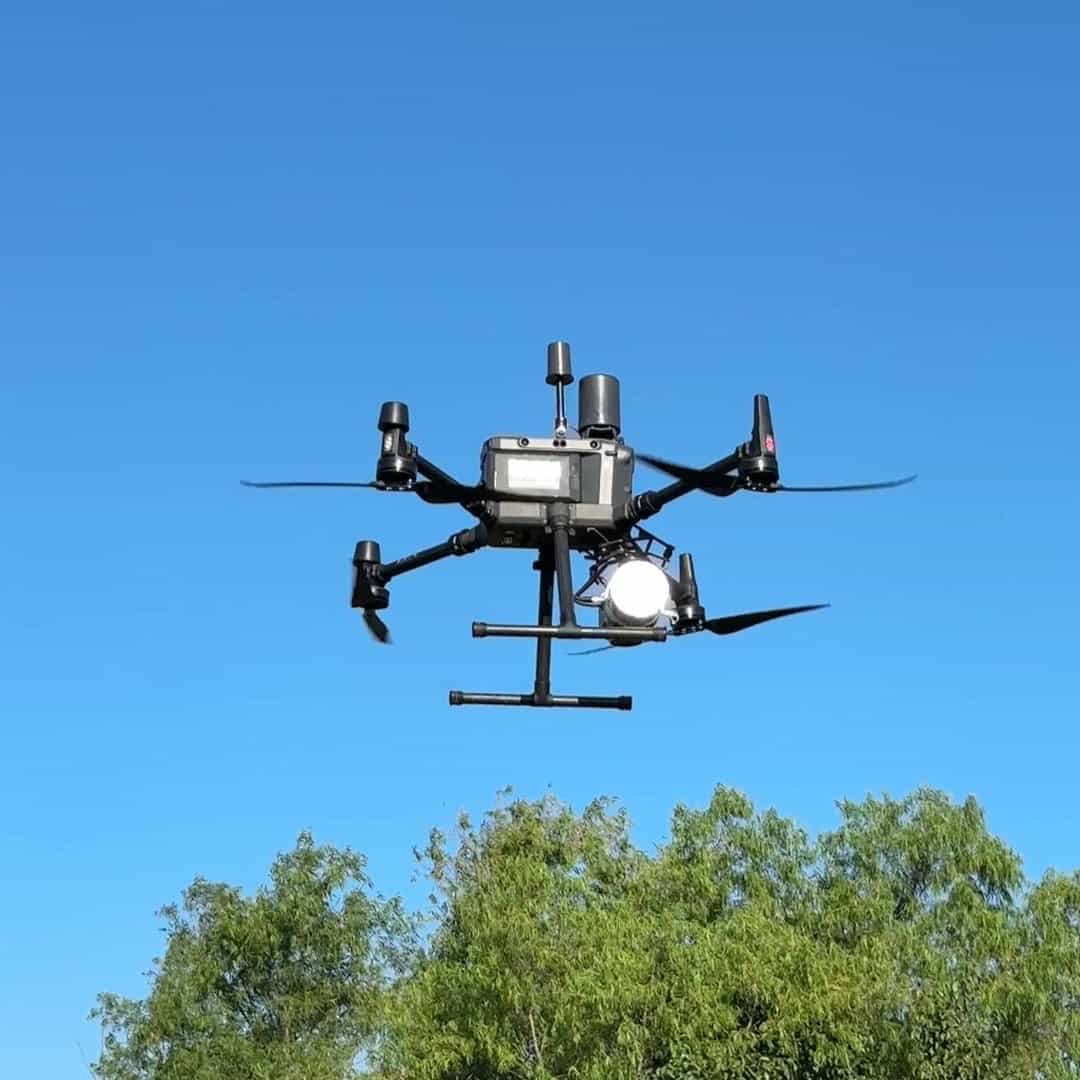
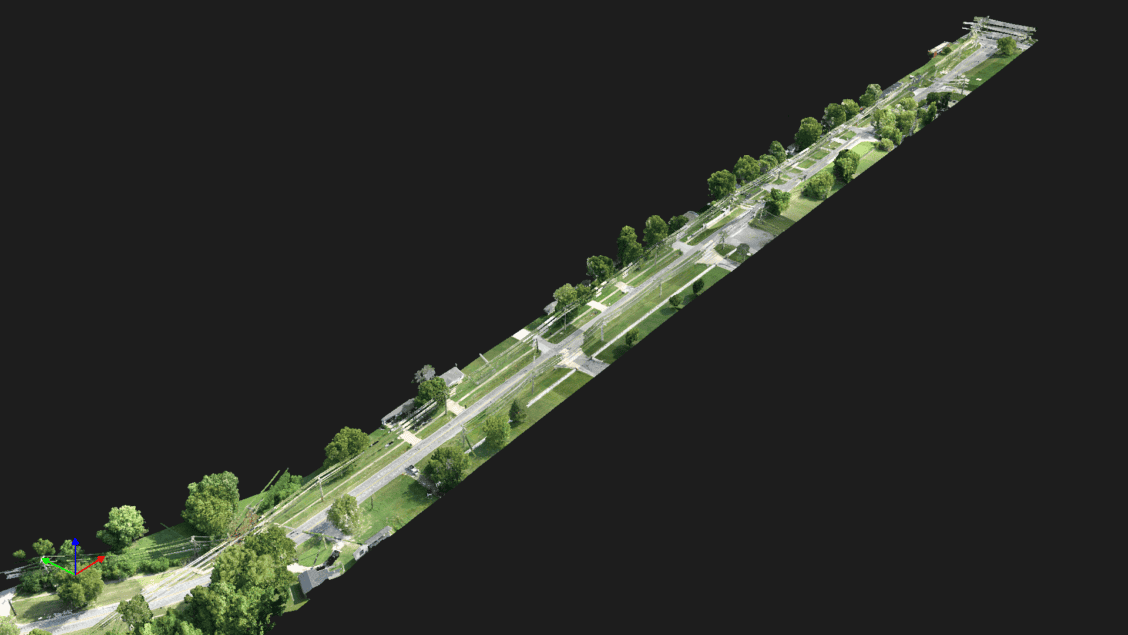
The advent of technologies like Aerial LiDAR has revolutionized how surveyors capture large-scale and complex data from above. But it's the expertise of surveyors that transforms raw point clouds into actionable insights for projects on the ground.
What Sets Surveyors Apart?
- Data Validation: Surveyors ensure that Aerial LiDAR data is accurately tied to ground control points and "real-world" coordinates with the proper DATUM delivering results that you can count on for project design and development.
- Purpose-Driven Collection: Surveyors approach Aerial LiDAR missions with a clear objective, tailoring data acquisition to meet specific project needs. This reduces unnecessary data collection, streamlines processing, and ensures the most critical details are captured.
Advantages of Surveyor-Led Scanning Projects:
- Speed and Efficiency: Surveyors optimize scanning workflows to minimize downtime and maximize results.
- Expertise in Data Integrity: Surveyors ensure that scanning data is accurate, reliable, and actionable for various applications, such as infrastructure planning, environmental monitoring, and project design. Our training and precision guarantee results that meet professional and technical standards.
- Reduced Risk: Surveyors can safely capture data in hazardous or hard-to-reach areas with the confidence that it will be usable and accurate.

Challenges in the Era of Advanced Technology
As powerful as LiDAR and 3D scanning are, they can never replace the judgment and training of a licensed land surveyor.
Challenges Include:
- Planning: Surveyors understand technical specifications and the limits of what technology can do. Which drives consistent quality outcomes.
- Data Overload: Without a trained surveyor to filter and interpret massive point clouds, teams can be overwhelmed, and data files become bloated.
- High Stakes: The data collected must be correct the first time, especially in areas where scans are combined from ground and aerial LiDAR. Surveyors understand these translations from formal education, testing, and ongoing training.
Advantages of Surveyor-Led Scanning Projects:
- Speed and Efficiency: Surveyors optimize scanning workflows to minimize downtime and maximize results.
- Expertise in Data Integrity: Surveyors ensure that scanning data is accurate, reliable, and actionable for various applications, such as infrastructure planning, environmental monitoring, and project design. Our training and precision guarantee results that meet professional and technical standards.
- Reduced Risk: Surveyors can safely capture data in hazardous or hard-to-reach areas with the confidence that it will be usable and accurate.
Why You Need a Land Surveyor for LiDAR and 3D Scanning
Without a licensed surveyor overseeing these applications, data inaccuracies could lead to costly delays, safety risks, and possible legal issues.
- Construction and Infrastructure: Accurate data ensures roads, bridges, and buildings align perfectly with design specifications.
- Environmental Projects: Surveyors capture topography and vegetation data essential for sustainable development and conservation efforts.
- Historic Preservation: Surveyors’ expertise preserves cultural landmarks digitally while maintaining spatial accuracy for future generations.
- Disaster Response and Reconstruction: Accurate scans, led by surveyors, assist in rebuilding after natural disasters or accidents.

The Benefits of Drone Technology in Land Surveying
Accuracy is Not Optional
LiDAR and 3D scanning technologies have revolutionized land surveying and data collection, but their full potential can only be realized under the guidance of a licensed land surveyor. Surveyors bring unmatched expertise, precision, and accountability to every project, ensuring that data is collected, understood, and applied effectively.
When planning your next project, remember this: it’s not the technology alone but the skills of the professional behind it that make the difference. Trust in a land surveyor's expertise to turn cutting-edge tools into transformative solutions.

