About
Certifications and Associations
Professional development and active membership in industry associations are critical for maintaining expertise and staying at the forefront of advancements in land surveying and geospatial sciences. Organizations and certifications such as those listed below provide invaluable opportunities for networking, continuing education, and the sharing of best practices. These affiliations assist with ensuring that we uphold the highest standards of precision and professionalism. As a Service-Disabled Veteran-Owned Small Business, these connections affirm our commitment to excellence and to delivering reliable, cutting-edge solutions for our clients.
Tell Me More
I have completed various geospatial and land surveying projects in Oklahoma, Kansas, and Texas and have extensive experience in data acquisition, drone-based surveying, LiDAR, terrestrial (3D) scanning, mapping, topographic surveys, design surveys, land title research and ALTA surveys, boundary.
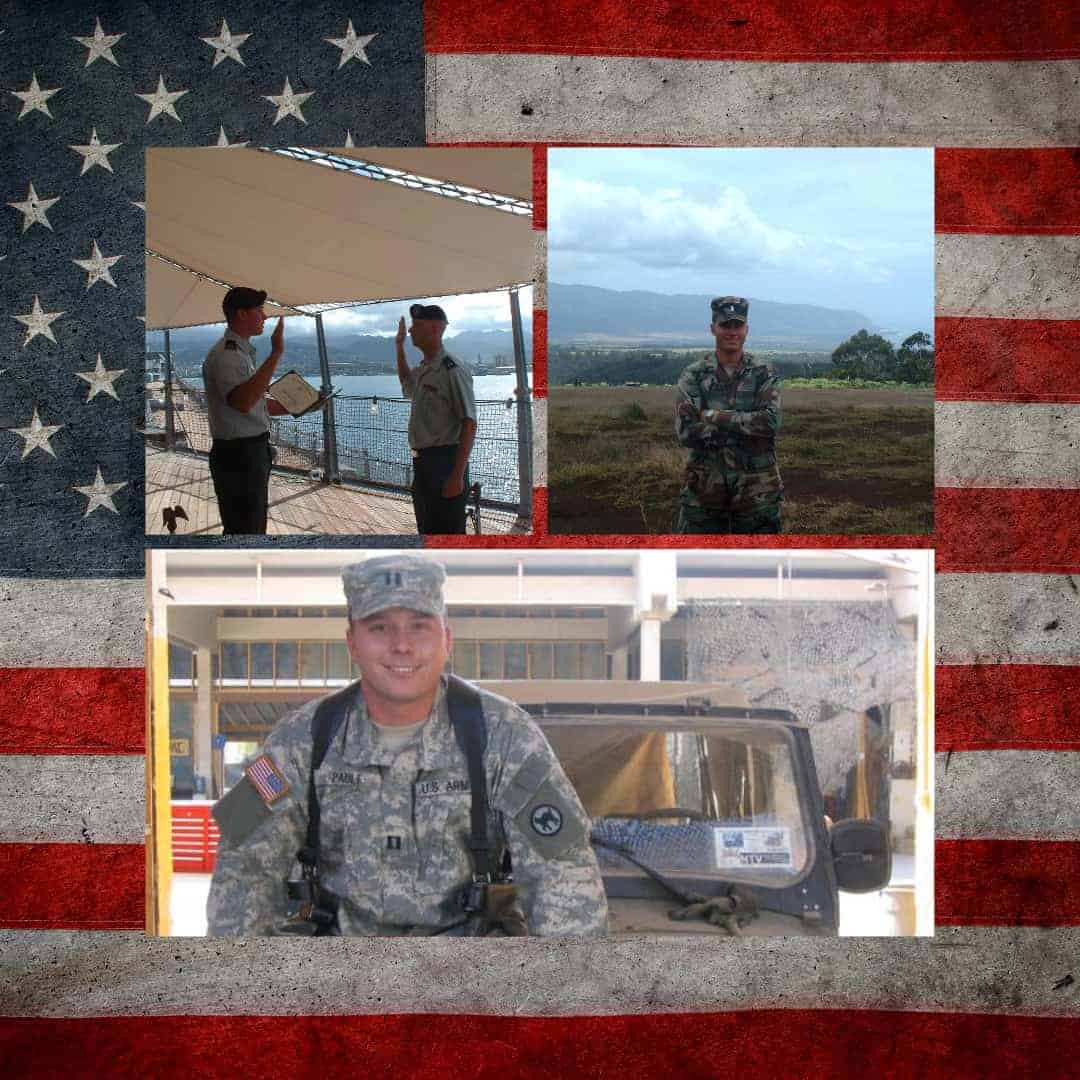
I've taken many principles I learned while serving in the US Army and applied them to my daily business practices. I'm grateful for my time serving the country and those who continue to serve.
Paule Professional Services PLLC delivers precise geospatial, mapping, and land surveying solutions with an unwavering commitment to excellence. By deploying cutting-edge technology, including aerial LiDAR and terrestrial scanning, we provide innovative and trusted services to clients in both the private and public sectors.
Our mission is to consistently exceed client expectations by delivering accurate, dependable, and professional geospatial solutions.
