
The Myth of Fully Automatic LiDAR Registration
LiDAR technology has revolutionized land surveying, enabling professionals to capture highly accurate, three-dimensional datasets over expansive areas. From terrestrial scanners to aerial systems, equipment manufacturers often advertise their devices as “easy to use” and claim that registration processes are fully “automatic.” But as anyone with real-world experience knows, the reality is more complex. Automated registration isn’t necessarily automatic—and without proper planning, quality control, and professional expertise, it’s all too easy to end up with a flawed dataset.
The Reality of Automated LiDAR Registration
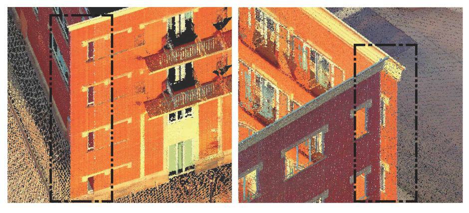
Overlapping or Misaligned Walls
The Importance of Manual QC
Quality control (QC) is a critical step in the LiDAR registration process, and it’s one that no amount of automation can replace. Manual QC involves adjusting to control, reviewing the dataset for errors, verifying alignments against known check-points, and making necessary adjustments. Here’s why QC is essential:
- Detecting Subtle Errors
- Automated processes can miss subtle misalignments immediately apparent to a trained professional. A skilled surveyor can identify these issues and correct them before they compromise the integrity of the dataset.
- Ensuring Consistency
- Even when scans appear to align well at a glance, minor errors can accumulate across a large project. Manual QC ensures consistency throughout the entire dataset, preventing issues from snowballing.
- Adjusting to Control and Validating to Check Points
- By adjusting scans to survey-grade control points, a surveyor ensures the dataset is accurately aligned with established geospatial parameters. This adjustment is then validated through independent ground-truthing using high-accuracy checkpoints, confirming the dataset’s precision and reliability.
The Role of the Professional Surveyor
LiDAR registration isn’t just a technical task; it’s a professional responsibility. Surveyors bring a level of expertise that goes beyond software operation, applying critical thinking, problem-solving, and a deep understanding of spatial data to every project. Here’s how professional surveyors ensure the success of LiDAR registration:
Planning the Project
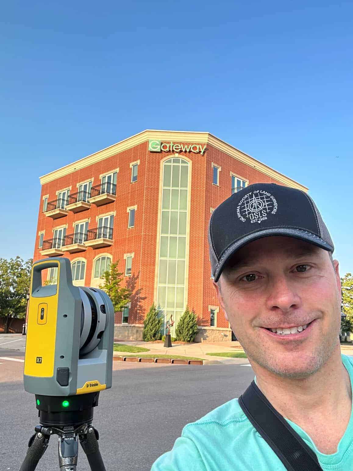
Good registration starts long before the first scan is captured. Surveyors carefully plan their projects to ensure sufficient overlap between scans, identify potential challenges (like repetitive geometries or areas with minimal distinguishing features), and establish control points to anchor the dataset. This foresight minimizes the risk of errors during registration. This process is no different from the rigorous training, education, and years of measurement experience surveyors receive to excel in their field—skills that blend technical knowledge, critical thinking, and practical application to ensure the highest level of accuracy and reliability in their work.
Balancing Automation and Expertise
While automated tools can save time, they’re no substitute for professional judgment. Surveyors know when to "trust" and override the software, applying manual adjustments to achieve the best possible alignment. This balance ensures that automation serves as a tool, not a crutch.
Documenting and Reporting
In addition to creating accurate models, surveyors are responsible for documenting their methods and results. This transparency lets clients understand the dataset's quality and trust its reliability for critical applications.
Ground-Truthing Results
It is critical to validate LiDAR results by comparing them against measurements from higher-quality sources. This ground-truthing process ensures that the data aligns with established standards of accuracy and provides clients with confidence in the reliability of the final product.
Error Distribution: A Proactive Approach

One key strategy for ensuring accurate registration is distributing error across the entire dataset. This approach contrasts with the “stacked” error often seen in purely sequential registration, where each scan is aligned only to the previous one. Sequential registration can lead to compounding errors, with the final scans significantly misaligned from the initial ones.
Instead, surveyors can use multiple control points distributed throughout the project area. By tying scans to these points, errors are spread evenly rather than accumulating in a single location. This method improves overall accuracy and makes it easier to identify and correct issues during QC.
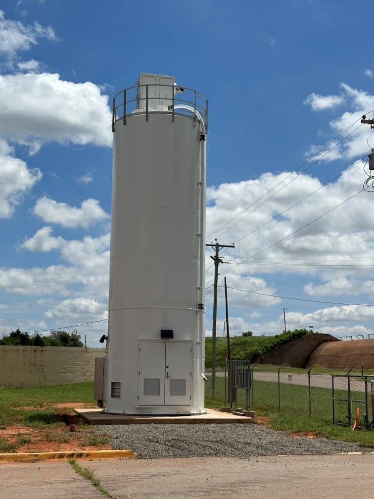
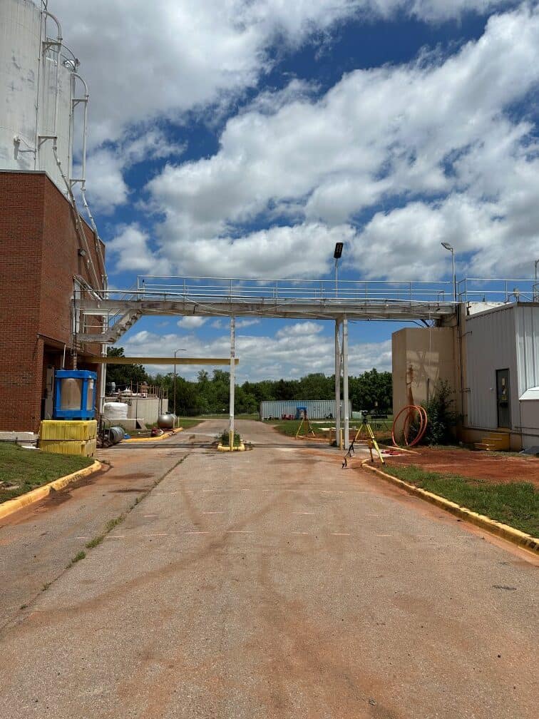
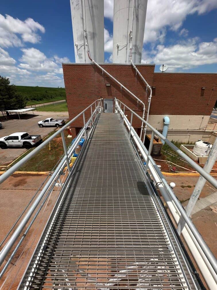
For example, consider a large construction site where scans must capture multiple buildings and open areas. The surveyor creates a framework that anchors the dataset by establishing control points at strategic locations. Selected scan stations are tied to this framework, ensuring errors are minimized and distributed evenly across the project.
The Limits of “Ease” and “Automation”
Manufacturers often market their LiDAR equipment as “easy” to use, emphasizing its automated capabilities. While these claims aren’t entirely untrue, they can be misleading. The reality is that achieving high-quality results requires:
- Training: Understanding how LiDAR systems work and how to interpret their outputs.
- Licensure or Certifications: Adhering to standards and ethical responsibilities as a licensed surveyor or certified professional.
- Experience: Adapting to unique project challenges and anticipating potential issues.
LiDAR technology is indeed powerful, but it’s not a magic solution. Even the most advanced equipment can produce subpar results without proper planning and oversight.
Conclusion: The Value of Expertise
LiDAR registration is a powerful tool but is not a one-size-fits-all solution. Automated processes can streamline workflows, but they require the guidance of a trained professional to achieve reliable results. From planning the project to performing manual QC, surveyors play a crucial role in ensuring the accuracy and integrity of LiDAR datasets.
By understanding the limitations of automation and applying strategies like error distribution, surveyors can overcome registration challenges and deliver high-quality models that stand up to scrutiny. The next time you hear LiDAR described as "automatic," remember—it’s only as accurate as the expertise behind the controls.
Unlock the Power of 3D Scanning for Your Next Project
Planning a complex survey project requiring a high details? Leverage high-precision 3D scanning for seamless, data-driven results. Contact us today to discuss your project!