So it's Time to Decide Whether you Need a Land Survey...
As a property owner, one important thing to know is where the boundaries of your land are. Having clear and distinct boundary lines will help to avoid issues when building on or selling your property. A good understanding of your property limits will also help to prevent disagreements with neighbors in regards to where fences are built. There are many instances where property corners and lines are clear, but there are also times when ambiguity exists.
Whenever there are conflicting views about boundary lines, or you are buying, dividing, improving, or developing land; it is important to commission a boundary survey.

Some Common Questions About Land Survey Include...
So what does a Surveyor do?
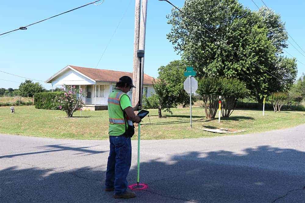
A licensed surveyor and their field crews will locate or reestablish the property corners and boundary lines of a property. They accomplish this by retracing the "foot-steps" of the original surveyors that created the property. This includes the review of deeds, original government surveys and all field evidence discovered by the field crew.
Upon completion, a surveyor should be able to give you the location of property lines and corners and if there are any encroachments on your property. The entire process requires good planning and thorough execution to ensure that all evidence is accounted for.
But how long is a land survey good for?
A survey is similar to a snapshot in time. Once the original survey, or a retracement survey is completed, any changes to the property or new encroachments are not reflected on the completed land survey.
After the surveyors have left the property, a neighbor could create an encroachment, a new fence could be installed, buildings could be built or added on to, driveways could be built or enlarged, or the property could be divided and a piece of the property sold. If nothing ever changes and no land is sold, then a survey plat would continue to reflect the correct information.
How are existing, resurveyed, or new corners marked?
Usually property corners are a monumented with of iron rods or sometimes iron piping. The iron rods range in size from 3/8 to 5/8 inch and the piping can vary from 1 to 2 inches on average. Each location is different and monumentation can vary based on terrain or soil types. Survey nails are usually set in hard surfaces like concrete or asphalt. In some instances, monumentation may be a chiseled "X" in concrete.
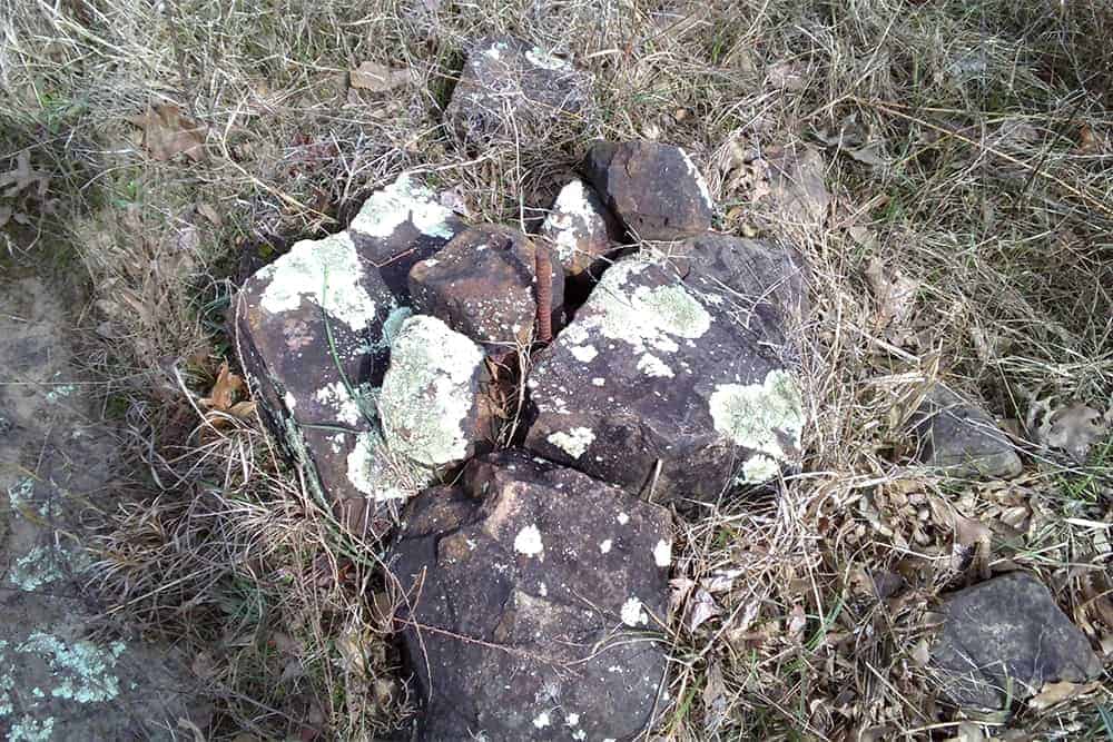
Many times, wood stakes are used to assist with easily locating the property corners visually. Stakes are typically marked "Property Corner, or Prop Corner," depending on the field crew. They are also spray painted and flagged with "flagging tape" to assist with identifying the location. Property corners can coincide with section corners, which can be monumented with many different markers. Some examples are brass caps, iron spikes, and rock mounds.
Per the Oklahoma State Board of Licensure for Professional Engineers and Land Surveyors - Where practical, monuments shall be constructed of material capable of being detected with the conventional instruments for finding ferrous or magnetic objects. All set monuments shall have affixed thereto a durable marker cap bearing the license number of the land surveyor or the Certificate of Authorization for the company.
Why the prices of a land survey can vary
The cost of the survey is different for each project. Some of the things that could affect the cost include:
- The reason for commissioning the survey has a significant impact on the cost. The price of a topographic survey can vary greatly from other types of surveys, due to the amount of data the field crew will need to collect.
- The location, accessibility, and ruggedness of the parcel of land you want surveyed.
- The shape and size of the surveyed parcel of land. A square lot, in general, is easier to survey and has less property corners than an irregular shaped lot with multiple jogs along the property line.
- Seasonal variations in important features of the land such as leaf cover or ground markings.
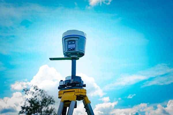
- GPS / GNSS utilized for land survey is an efficient means of completing the survey. However; when the GPS units do not have a "clear" view of the sky, it becomes difficult to fix the location.
- "Riparian Rights" or issues arising from properties along water. When there is an absence of field evidence of the property it takes longer for a surveyor to complete their task of locating the boundary lines.

What about Marking my Boundary Lines?
Property lines are typically marked according to the client's request. In many instances, both property corners can easily be seen by line-of-sight. If there are trees obstructing the view, we will often mark those with pink or orange flagging to denote the property line. Additional stakes can be placed at a customer's request.
What is a Boundary Plat?
After the field work for a boundary survey is completed a licensed surveyor will determine acreage, encroachments, corner locations, easements, rights of way, and various other aspects associated with the property.
Once that data analysis is finalized, a boundary plat is drafted, which contains the results of the final findings and recommendations. The plat is a legal document that is prepared in compliance with the requirements of the state where the boundary was completed.

