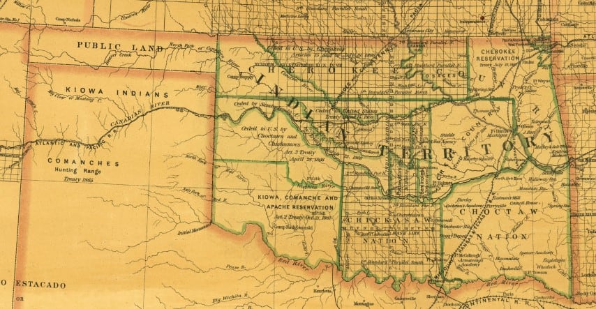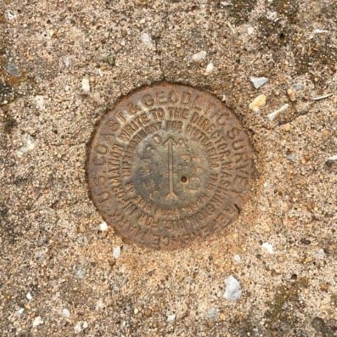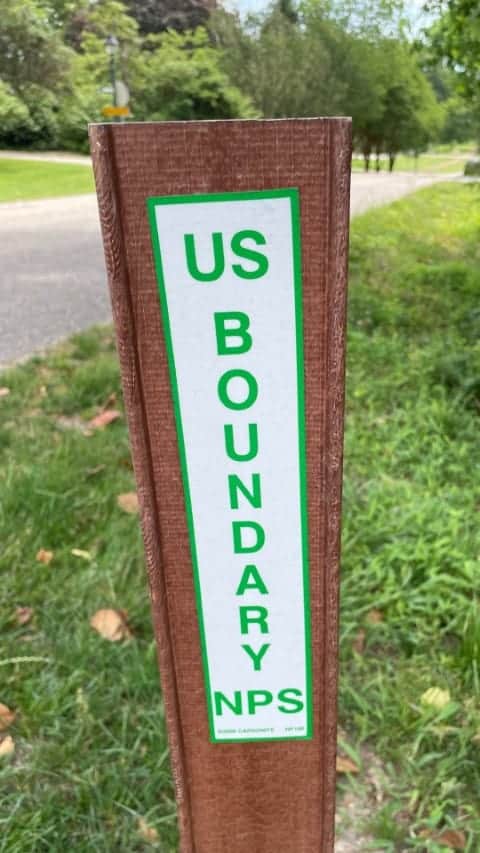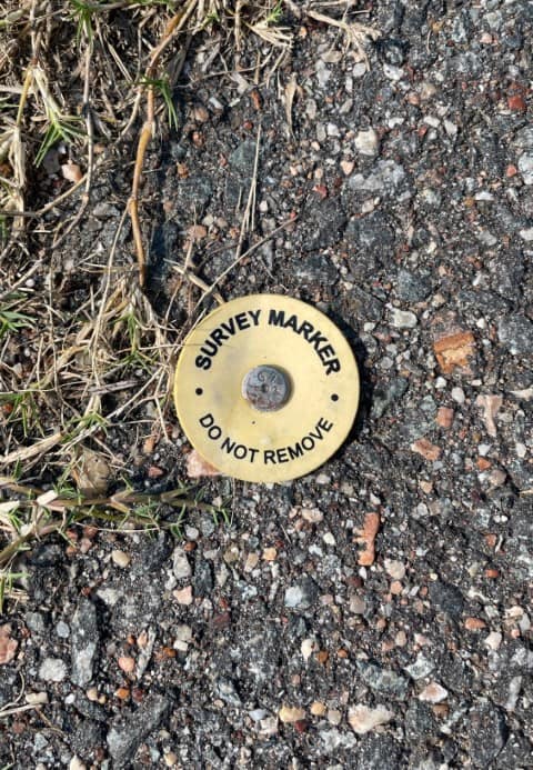
Stable and identifiable boundaries have always been an essential part of civilization. Before the advent of modern technologies, many natural features were used to establish easily identifiable boundary lines, such as rivers, creeks, or mountain ranges.
Some early examples of boundary surveying date back to the ancient Egyptians utilizing rope stretchers, or "rope pullers," to measure and define boundary limits along the Nile River. The idea of land surveying spread to India, Greece, and later Rome. As time and technology evolved, the methods may have changed, but the principle of defining land boundaries hasn't.
So What is a Boundary Survey?
Why Does a Boundary Survey Take so much Time?
Why does a Boundary Survey Cost more than a Mortgage Inspection Report?
I've completed dozens of boundary surveys, and it always seems that no two are the same. Either the record is unclear and ambiguous, the field data doesn't match the record, possible gaps or overlaps exist, or all of the above. There have been many times I've worked late or weekends to ensure that the final boundary plat is the best possible representation of the conditions on the ground, and lives up to state standards and my standards. Although it is a complicated career field, most land surveyors do it because they love what we do. Being a part of a parcel's history and helping clients solve their problems drives me to work toward becoming a better land surveyor each day. You can find additional information about Boundary Surveys here.
Thank you for taking the time to read this article. If you found this information helpful, please click the links below and share this post.


