Paule Professional Services P.L.L.C.


- QUALITY - PRECISION - PROFESSIONALISM -

- QUALITY -

- PRECISION -

- PROFESSIONALISM -


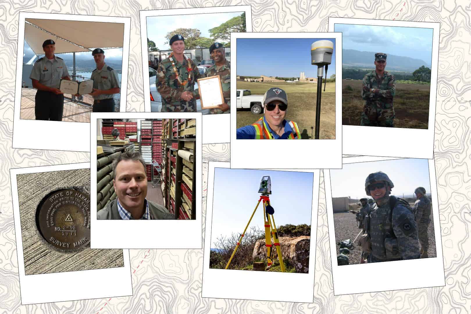
Land Survey Through the Years
At Paule Professional Services PLLC, we uphold the highest standards of precision and accuracy in geodetic and land surveying. Rooted in our military service ethos, our commitment to detail drives us to deliver unparalleled quality. Serving both private and public sectors, we ensure every project reflects our meticulous attention to detail and dedication to excellence. Our mission is to deliver accurate, dependable, and professional surveying services, consistently surpassing client expectations.

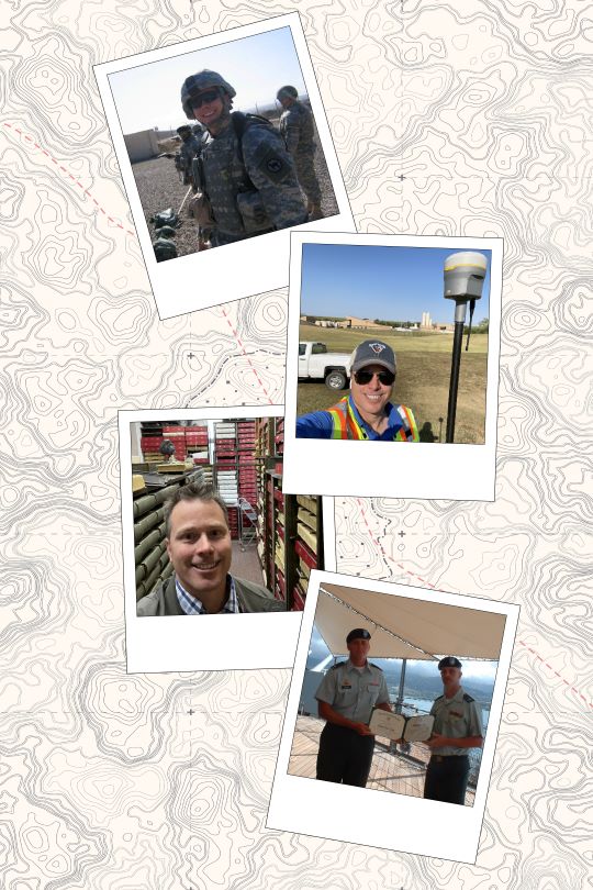
After serving with distinction in the United States Army, a chapter in my life defined by structure, discipline, and a deep respect for values and history, I embarked on a journey through various career paths before discovering my true calling in the field of land surveying. Each role I explored taught me valuable lessons, but none resonated with my core values and aspirations as deeply as land surveying did. This transition, while a change in scenery, resonated with the principles I cherished in the military.

The precision and attention to detail honed during my military service have proven invaluable in land surveying, where accuracy is paramount. The discipline I developed in the Army now fuels my dedication to this meticulous profession. Surveying, much like the military, is steeped in history and tradition, grounding its modern practices in a rich heritage. My career in land surveying has not only allowed me to utilize the skills and values acquired in the Army but has also provided a sense of fulfillment and purpose, connecting the structured world of the military to the disciplined and historical realm of land surveying.

At Paule Professional Services PLLC, we deliver precise geospatial, mapping, and land surveying solutions with an unwavering commitment to excellence. By deploying cutting-edge technology, including aerial LiDAR and terrestrial scanning, we provide innovative and trusted services to clients in both the private and public sectors.

Our mission is to consistently exceed client expectations by delivering accurate, dependable, and professional geospatial solutions.


Certifications and Associations

Service Disabled Veteran Owned Business
CERTIFIED FEDERAL SURVEYOR
Oklahoma Society of Land Surveyors, OSLS
Texas Society of Professional Surveyors, TSPS
National Society of Professional Surveyors, NSPS
Kansas Society of Land Surveyors, KSLS
American Association for Geodetic Surveying, AAGS
American Society for Photogrammetry and Remote Sensing, ASPRS
American Society of Civil Engineers, ASCE
Image

Services

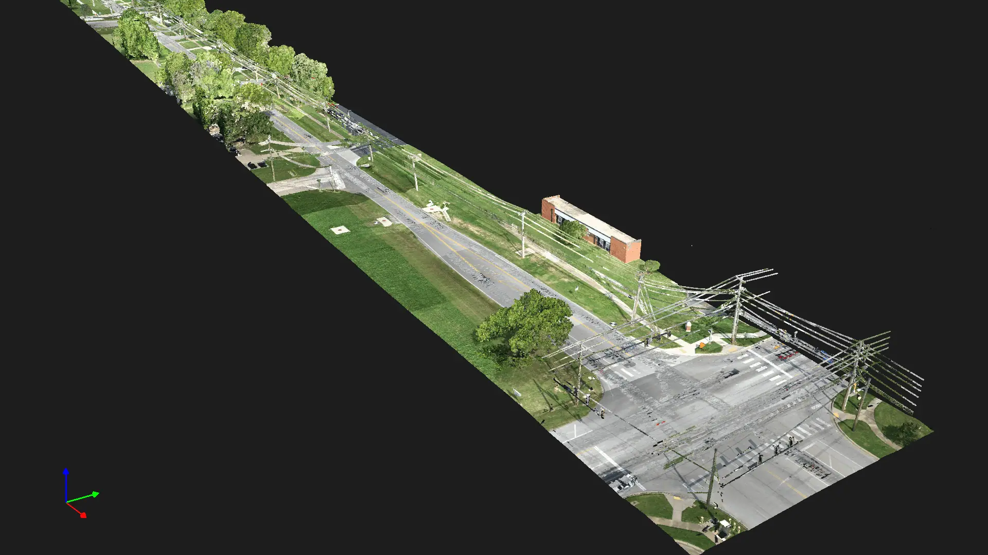
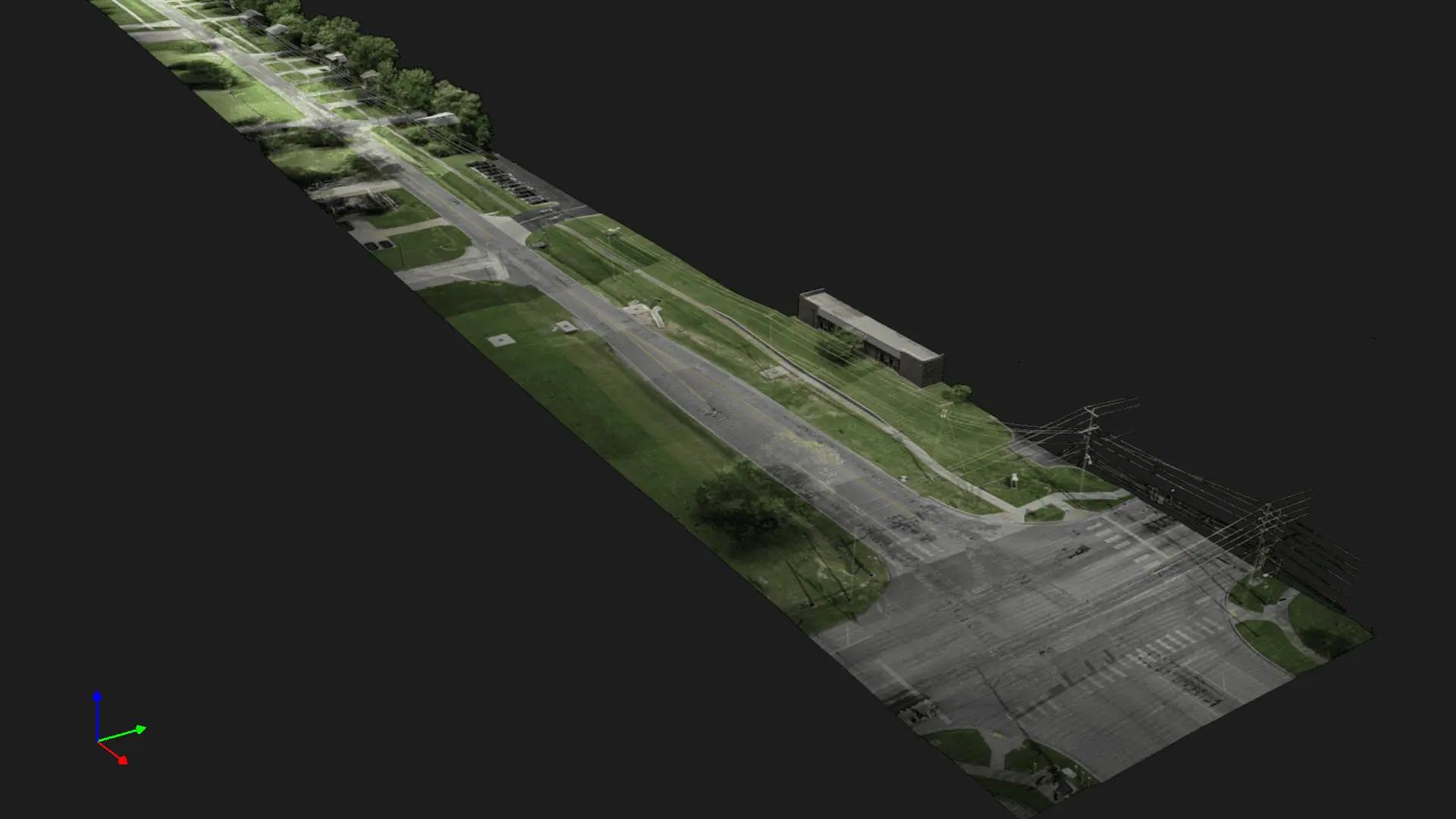
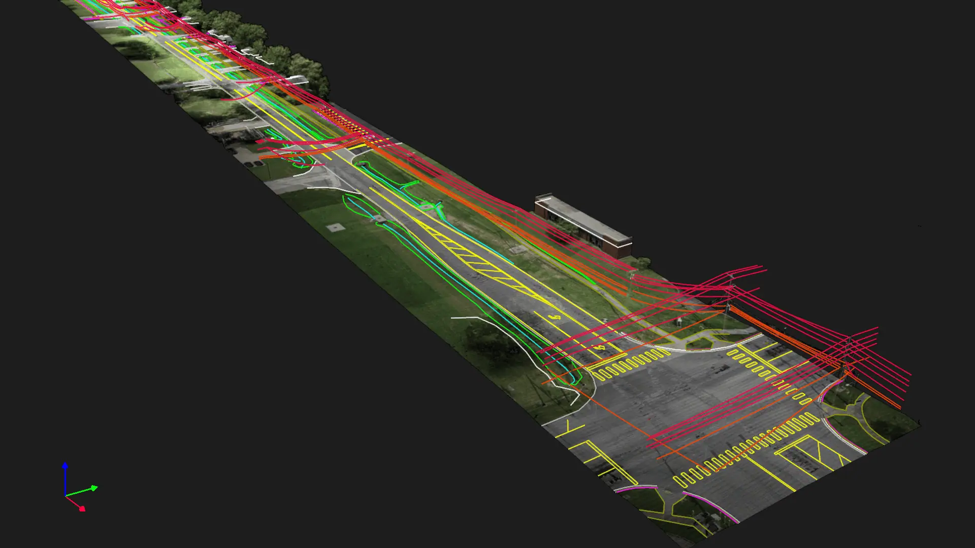
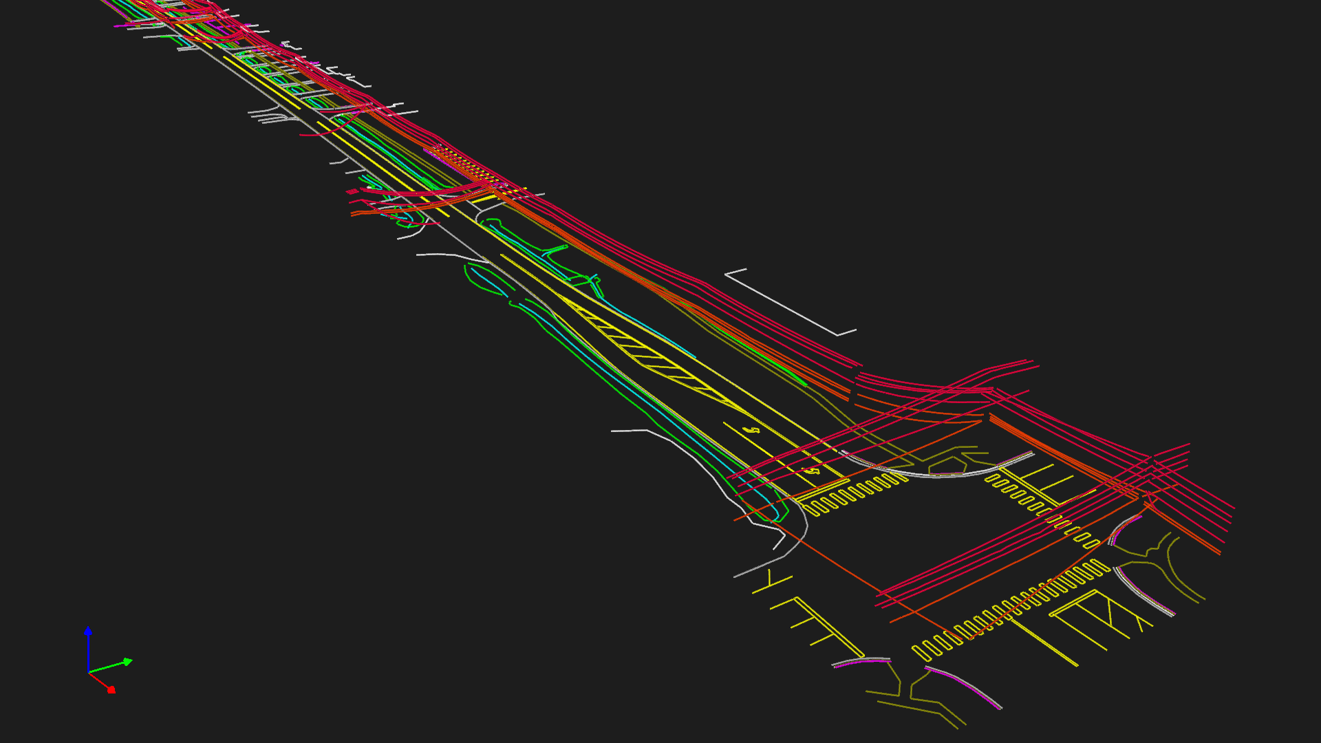
Innovative Solutions with Aerial LiDAR and Scanning

Scan to CAD with survey grade results...
CAD Linework, Aerial Survey, Drone Survey, LiDAR, Point Cloud
REMOTE SURVEYING

AERIAL LiDAR & SCANNING

CADASTRAL

BOUNDARY & ALTA

GEOSPATIAL

GEOSPATIAL

REMOTE SURVEYING

AERIAL LiDAR & SCANNING

CADASTRAL

BOUNDARY & ALTA

GEOSPATIAL

GEOSPATIAL

GEOSPATIAL

Our geospatial services at Paule Professional Services offer a cutting-edge approach to land surveying, harnessing advanced technology and expertise to provide comprehensive spatial solutions.

CADASTRAL

Whether you're buying, selling, developing, or simply need a clear understanding of your property's limits, our cadastral surveys ensure accuracy, compliance, and peace of mind.

CONSULTING

At Paule Professional Services, our consulting services in land surveying extend beyond the boundaries of traditional survey work. We are your trusted advisors, assisting you in making informed decisions and optimizing your land assets.


After serving with distinction in the United States Army, a chapter in my life defined by structure, discipline, and a deep respect for values and history, I embarked on a journey through various career paths before discovering my true calling in the field of land surveying. Each role I explored taught me valuable lessons, but none resonated with my core values and aspirations as deeply as land surveying did. This transition, while a change in scenery, resonated with the principles I cherished in the military.

The precision and attention to detail honed during my military service have proven invaluable in land surveying, where accuracy is paramount. The discipline I developed in the Army now fuels my dedication to this meticulous profession. Surveying, much like the military, is steeped in history and tradition, grounding its modern practices in a rich heritage. My career in land surveying has not only allowed me to utilize the skills and values acquired in the Army but has also provided a sense of fulfillment and purpose, connecting the structured world of the military to the disciplined and historical realm of land surveying.

Gary Paule
Gary Paule
After distinguished service in the U.S. Army, I explored various careers before finding my true calling in land surveying. The precision and discipline from my military background have been invaluable in this meticulous profession. Being an Oklahoma surveyor resonates with my core values, blending history, tradition, and modern practices. It offers fulfillment by connecting the structured world of the military to the disciplined realm of land surveying, allowing me to apply my skills and values effectively.