What are Public Lands Section Corners?
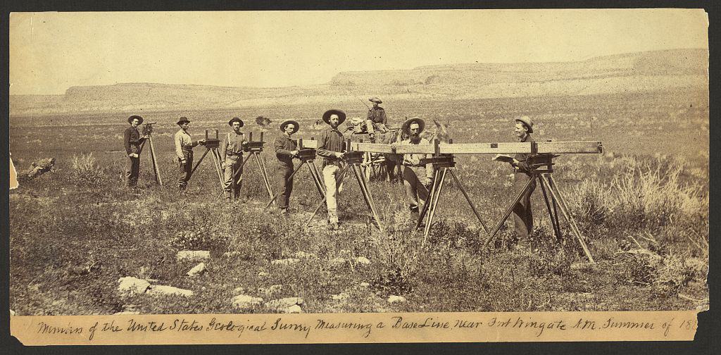
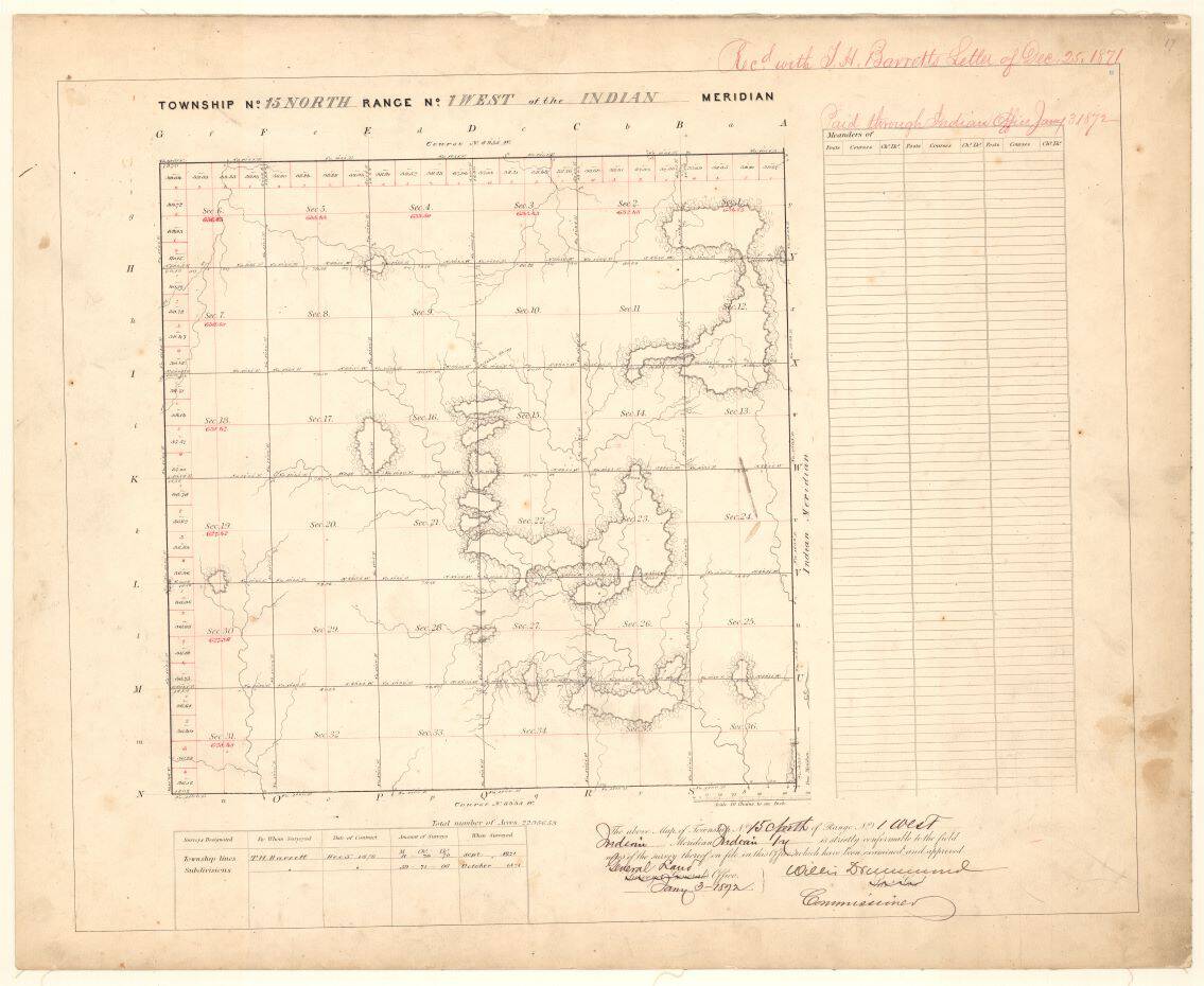
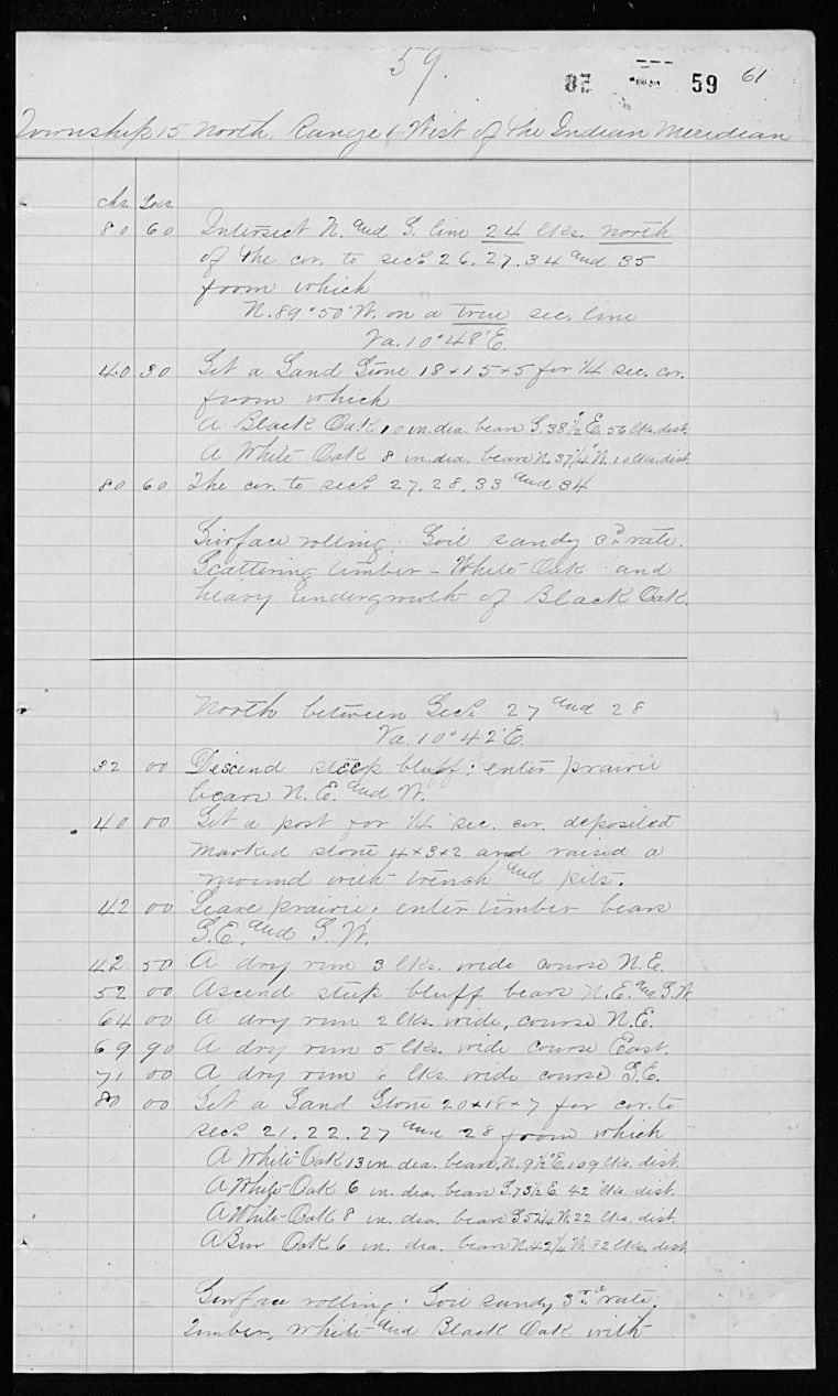
To appreciate the work of land surveyors in this context, it's essential to understand the concept of section corners. In the late 18th and 19th centuries, the federal government initiated the Public Land Survey System (PLSS) to divide and categorize the vast lands it acquired systematically. This division was primarily into a grid of townships and sections.
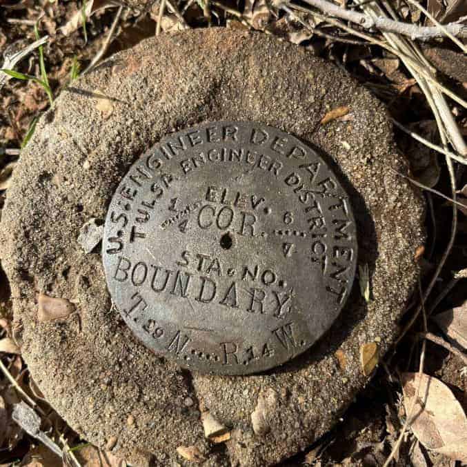
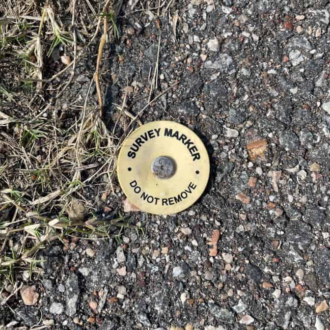
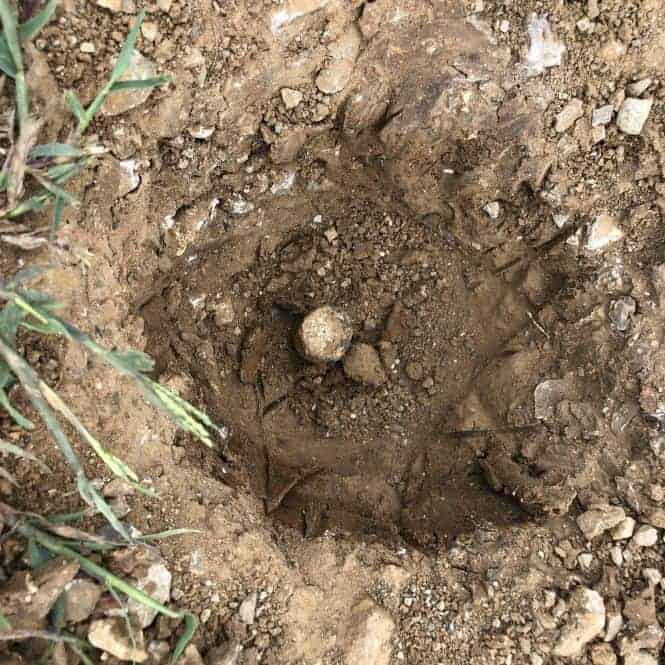
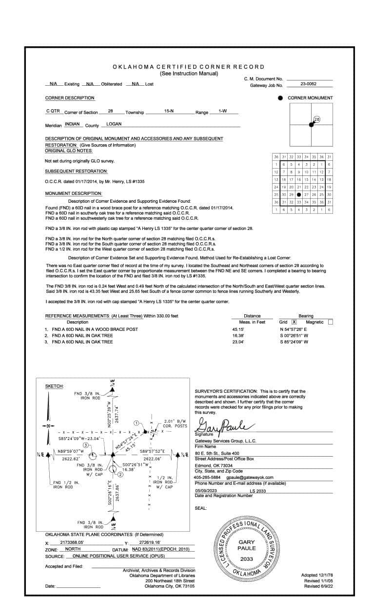
A township typically covers a 6x6 mile square, further normally divided into 36 sections. Each section is approximately 1x1 mile square, and the corners of these sections are the aforementioned 'section corners.' These corners were originally marked initially by wooden stakes, stones, or other various monuments.
The Role of Land Surveyors in Using Section Corners:
- Boundary Lines - One of the primary roles of a professional land surveyor is determining and marking boundary lines. This ensures homeowners, developers, and others understand where their land starts and ends. By using historical section corners, deeds, and other record data, surveyors can trace the parcel's history and ascertain current boundaries. Having a high level of consistency in section corner monumentation and records helps prevent possible disputes and problems.
- Infrastructure Development - Roads, bridges, utilities, and public infrastructure require accurate measurements and land delineations. Land surveyors work with civil engineers, using section corners to ensure that public projects don’t encroach on private lands and vice versa.
- Environmental Conservation - In efforts to conserve natural habitats, parks, and other protected lands, the accurate demarcation of boundaries is essential. Using these historic section corners as references can prevent the misuse or overuse of public lands.
Why are Public Lands Section Corners Important?
Real Estate Transactions: The Invisible Lines that Matter
When buying or selling a new house, you're not just dealing with the bricks and mortar you can see. You're also navigating a world of invisible lines, boundaries, and markers that define exactly what you're buying or selling. Here's where land surveyors come in.
Every real estate transaction relies on an accurate understanding of the property's boundaries. This is essential for defining ownership and zoning regulations, property taxes, and homeowners' insurance. An inaccurate boundary line can lead to possible disputes, legal challenges, and potential financial setbacks. Those boundary opinions come from the meticulous work of land surveyors, who often draw from the legacy of public lands section corners to define and verify property extents.
Land Development: Building on Precision
Imagine planning a large residential community or a commercial hub. The foundation of such a project isn't just the ground it stands on but the clarity about who owns that ground and where the boundaries lie. Developers, before constructing or even purchasing land, rely heavily on land surveying to ascertain the scope of their potential projects.
In the realm of land development, the accuracy provided by land surveyors, referencing the historical and recorded section corners, is vital. It ensures that developers have the data to respect adjacent property rights, and zoning regulations and mitigate possible legal disputes. Beyond the legalities, accurate land surveying also ensures optimal utilization of space, enabling developers to craft projects that harmonize with the surrounding environment while maximizing utility.

