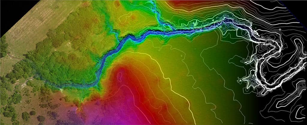
In the ever-evolving landscape of modern technology, few innovations have had a more profound impact than LiDAR (Light Detection and Ranging).
Land Surveyors and the Significance of Public Lands Section Corners
The role of section corners in public lands and the work of land surveyors may appear abstract to the average citizen, but they serve a purpose that benefits the general public in numerous ways.
Why do My Boundary Lines Not Line Up on Aerial Images
Mapping lines on aerial images may not always align perfectly due to the challenge of representing a spherical Earth on a two-dimensional surface.
ELEVATION CERTIFICATES
Elevation Certificates Elevation Certificates What is an Elevation Certificate? Elevation Certificates are a valuable tool provided by the National Flood Insurance Program (NFIP), which is managed by the Federal Emergency …
What is a Site Plan Survey?
Generally, a boundary survey, involves investigating, collecting, and evaluating “real property” evidence from recorded, field, and other relevant sources.
What is a Boundary Survey?
Generally, a boundary survey, involves investigating, collecting, and evaluating “real property” evidence from recorded, field, and other relevant sources.
Why is a Boundary Survey More Expensive than a Mortgage Inspection Certificate?
If you’re in the market to purchase a home or land, you will likely be faced with the following question:Do I need a boundary survey or a mortgage inspection report? …
Property Survey VS. a Mortgage Inspection Report
What’s the difference between a property survey and a mortgage inspection report? I frequently get phone calls from potential clients who need to define their property’s bounds for various reasons. …
MORTGAGE INSPECTION CERTIFICATES
Mortgage Inspection Certificate What’s a Mortgage Inspection Certificate? A Mortgage Inspection is ordered by a lender or title insurer (not by a home owner) to help them make decisions during …
ALTA SURVEY
ALTA Surveys What’s an ALTA Survey? The American Land and Title Association (ALTA) and National Society of Professional Surveyors (NSPS) have a joint committee that agrees upon a set of …


