
Oklahoma Surveyors Ensuring Accuracy with Professional Standards
Oklahoma's Topographic and Mappting Standards: A Brief Overview
The Oklahoma Minimum Standards for the Practice of Land Surveying were instituted not just to regulate the profession but also to better serve the public and uphold the integrity of land surveying within the state. These standards outline the required practices, procedures, and principles that land surveyors must adhere to while conducting any type of survey, including topographic ones. Regarding topographic surveys, the standards ensure that the resulting map is not just an artistic representation but is rooted in precision and accuracy.
One crucial aspect defined in the Oklahoma standards is the level of accuracy required. Different projects have varying accuracy needs. For instance, a preliminary planning project might require a different level of pinpoint precision than a construction project. By setting clear accuracy standards, Oklahoma ensures that the resulting topographic data is reliable regardless of the project's nature.
Professional Land Surveyors: Upholding the Standards
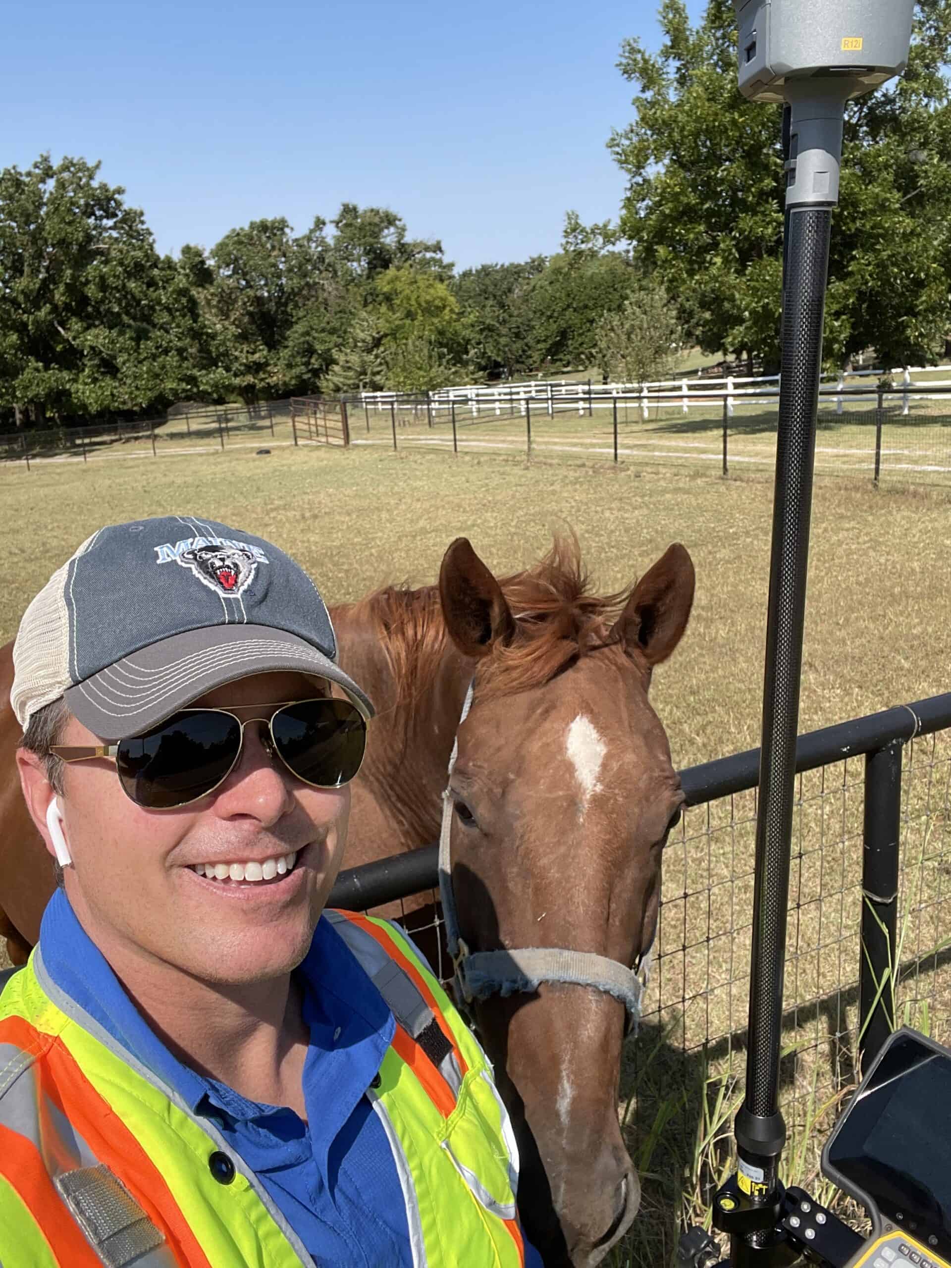
Professional land surveyors in Oklahoma are well-versed in the state's Minimum Standards. Before embarking on any topographic survey, they must first determine the purpose of the land survey. This informs the surveyor what techniques and tools should be used and dictates the level of accuracy needed. Here's a glimpse into their meticulous process:
- Pre-survey Research: Before any on-ground work begins, surveyors invest time researching existing records and maps of the area. This research helps them get a preliminary idea of the land's features.
- Selection of Equipment: Surveyors choose the most suitable equipment depending on the terrain and the required accuracy. While traditional tools like total stations and levels are still in use, many surveyors now incorporate advanced technology like GNSS (GPS) and drone lidar to capture detailed data.
- Fieldwork: The actual surveying process involves the surveyor visiting the site and capturing and measuring the required data. They ensure that all significant topographical features that will affect the digital representation of the surface are included and that their measurements align with the Oklahoma Minimum Standards.
- Data Processing: The data is processed and interpreted once the fieldwork is completed. Advanced software converts the raw measurements into detailed and accurate topographic maps. However, the licensed land surveyor will check the raw measurements and computer-generated maps for accuracy.
- Quality Check: Before finalizing the project, surveyors cross-check their work using a process defined in the manual to ensure it complies with the Oklahoma standards. Any discrepancies found are corrected at this stage to ensure the final product is satisfactory.

The Benefits of Drone Technology in Land Surveying
Accuracy is Not Optional
While the Oklahoma Minimum Standards provide a comprehensive framework, the on-ground diligence of professional land surveyors guarantees the standards are met. These trained and educated professionals understand that accuracy is not optional in topographic surveys. Whether guiding a new highway project, managing floodplains, designing a residential complex, or charting out a new park, the data's precision can heavily influence the outcome.
To further emphasize this point, consider the repercussions of inaccurate topographic data. An error in understanding the terrain could lead to costly construction mistakes, project delays, or even safety hazards. This underscores why the Oklahoma Minimum Standards for topographic surveys are so essential.
In conclusion, topographic surveys are the foundation for many development projects. Professional land surveyors ensure this foundation is solid, accurate, and reliable by adhering to the Oklahoma Minimum Standards. Every time you witness a new development in Oklahoma, remember the intricate dance of precision and diligence behind the scenes, all guided by the state's steadfast standards and licensed land surveyors.