Manual Oversight in an Automated World

Oversite in an automated world

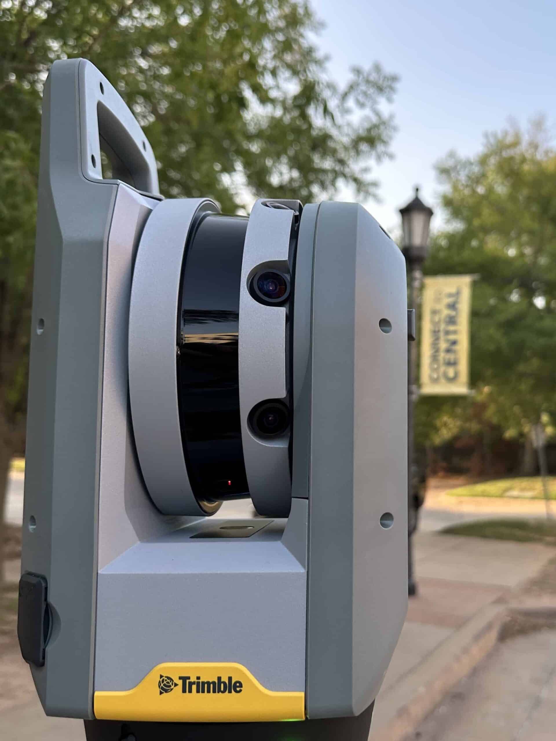
Lessons from Terrestrial Scanning

A common misconception in terrestrial scanning is that efficiency and quality are mutually exclusive. In reality, these represent two sides of the same coin. Efficiency in 3D scanning refers to the speed and ease with which data can be captured, often emphasized by the automated features of modern scanning equipment. Quality, on the other hand, is about the accuracy and reliability of the captured data. While automated systems are designed to optimize efficiency, ensuring data quality often requires a slower, more deliberate approach. This includes manual quality control (QC) measures that, although time-consuming, are critical for identifying and correcting errors that automated processes might miss. Balancing efficiency with quality means recognizing when to rely on automation and when to apply human expertise to achieve the best possible outcome.
Trimble X7 3D Scanner

The Promise of Automation

Manufacturers of terrestrial scanning equipment have made significant strides in developing systems that can capture detailed three-dimensional (3D) scans of physical environments. These advancements are impressive, offering unprecedented levels of detail and efficiency. The marketing materials are convincing and assure simplicity, ease of use, and "automatic" processes that suggest minimal human intervention is required.

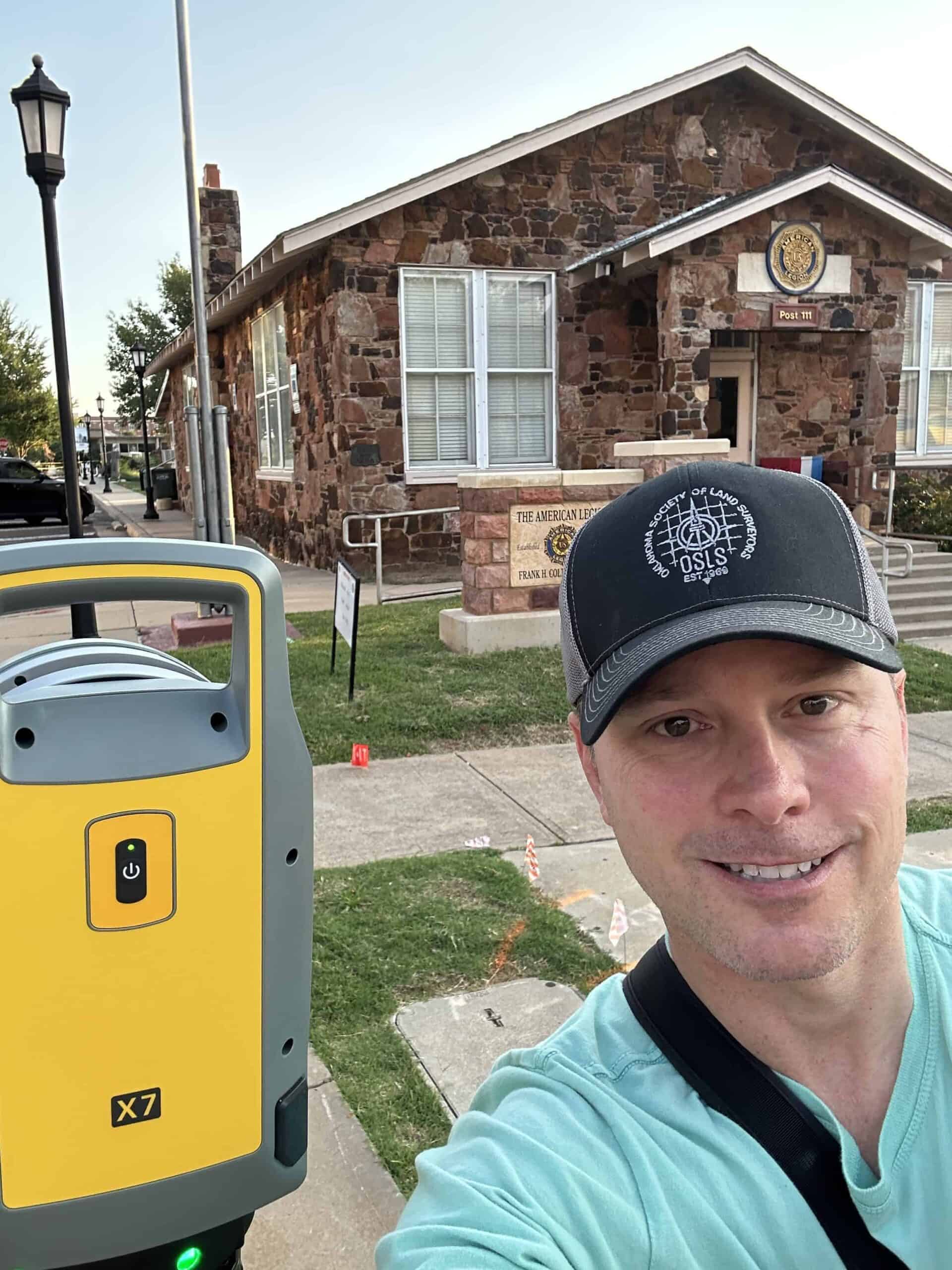
The Reality of Fieldwork

Despite these technological advancements, the reality of conducting terrestrial scans in the field reveals a different narrative. Time and again, I've encountered instances where the automated systems designed to tie scans together fall short, leaving gaps, overlaps, or other inaccuracies that could compromise the entire project. These are not mere anomalies but rather inherent limitations of relying solely on automation for tasks that require a refined understanding of the environment being scanned.
Gary Paule 3D Scan
Scanning a Project in Edmond, OK

Manual Oversight in an Automated World

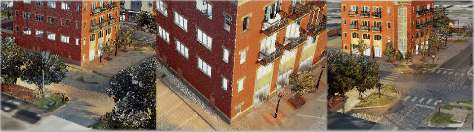
The essence of ensuring accuracy in terrestrial scanning lies not in the technology alone but in the skilled professionals who operate it. Proper scanner placement for adequate overlap, surveyed control points, and manual QC becomes beneficial and essential. Trained and qualified individuals are adept at preventing, identifying, and correcting errors that automated systems overlook. This human element, far from being obsolete, is crucial for several reasons:

1. Expert Judgment - Humans can assess the context and make judgments about the data that automated systems cannot. This ability is essential in complex environments where unforeseen variables may affect the scan.


2. Error Prevention, Identification, and Correction - Automated systems might stitch scans together inaccurately due to various factors, such as environmental conditions or equipment limitations. Professionals who understand the equipment specifications, measurement principles, and the scanning environment can identify such errors before and during manual QC to reduce or prevent problems.


3. Customization for Specific Projects - Each scanning project may have unique requirements that require custom approaches. For instance, when scanning for historical preservation, specific details may need to be captured with higher precision or photographic details. Automated systems follow predefined protocols that may not prioritize the project's intricacies. In contrast, a human operator can tailor the scanning process to emphasize and capture these critical details, ensuring the historical accuracy of the scanned model.


4. Quality Assurance in Data Integration - When integrating terrestrial scans with other spatial data sources, such as aerial photogrammetry or GIS data, discrepancies can arise due to differences in scale, resolution, units, or coordinate systems. A licensed land surveyor can perform cross-validation checks and apply their understanding of spatial analysis to reconcile these differences, ensuring a cohesive integration that automated systems may struggle to achieve seamlessly.

Poor Quality Automatic Regsitration
An automated scan registration showing overlap.

Impact of Distance on Data Quality

The distance between the scanner and the subject plays a crucial role in determining the quality of the 3D data. Generally, within equipment limits, the closer the scanner is to the subject, the higher the resolution and accuracy of the captured data. This is because shorter distances allow the scanner to capture finer details with greater precision. However, operating too close can limit the scanner's field of view, potentially requiring more scans to cover the area thoroughly. Conversely, scanning from a greater distance increases the coverage area but can reduce the detail and accuracy of the data, as the scanner captures less detail per unit area. Striking the right balance is essential for producing high-quality 3D models without compromising efficiency. The limitations and specifications of each piece of equipment must be considered when planning a scanning project.

Ensuring Proper Error Distribution

Proper error distribution is vital for maintaining the accuracy of 3D models. Errors in measurement or alignment can accumulate across scans, leading to significant inaccuracies in the final model. Proper surveyed control points and manual QC plays a crucial role in identifying and correcting these errors early in the process. By setting survey quality control and carefully reviewing and adjusting the data from each scan, professionals can ensure that errors are evenly distributed and minimized rather than allowing them to compound. An educated, trained, and licensed land survey professional will also have independent check measurements to validate their scanned data. This meticulous attention to detail ensures that the final model accurately represents the scanned environment, highlighting the indispensable role of land surveying expertise in achieving high-quality 3D scanning results.
Good Quality 3D Scan Data
A completed scan with a full QC process.

A Balanced Approach

The allure of fully automated terrestrial scanning systems is understandable, given the efficiency and precision they promise. However, these technologies have yet to reach a stage where they can substitute the sophisticated comprehension and adaptability of a trained and licensed land surveyor. The most successful scanning projects combine the best of both worlds: cutting-edge technology guided by the experienced hands of trained professionals. As we continue to navigate the complexities of the physical world, the human touch remains indispensable in ensuring the accuracy and reliability of our digital representations.

Need Assistance?

Please fill out the form below and provide as much detail regarding questions, and or projects as you can.

Your Name(Required)
Your Email Address(Required)
Parcel Address / Survey Location
This field is for validation purposes and should be left unchanged.

Need Assistance?

Please fill out the form below and provide as much detail regarding questions, and or projects as you can.

Your Name(Required)
Your Email Address(Required)
Parcel Address / Survey Location
This field is for validation purposes and should be left unchanged.