
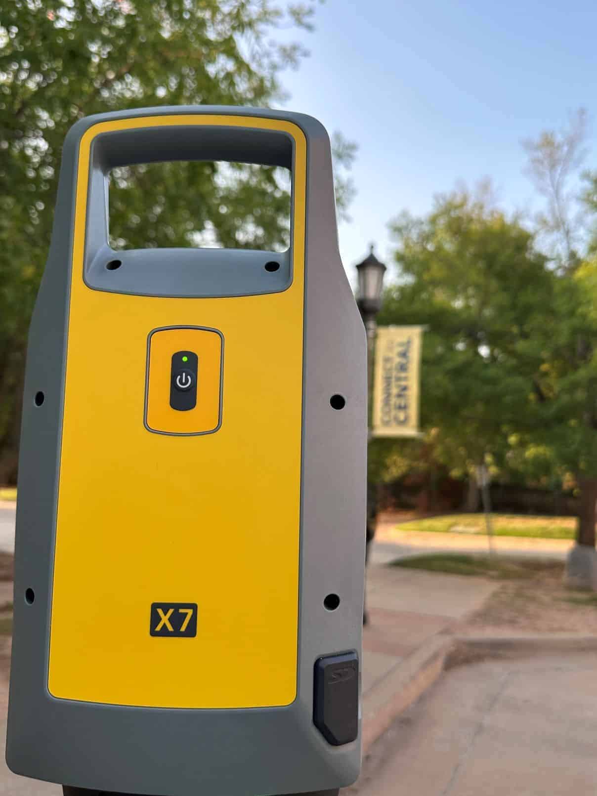
What is Terrestrial Scanning?
Land Surveyors and Terrestrial Scanning, A Dynamic Duo:
- Enhanced Accuracy and Precision - One of the prime reasons land surveyors have rapidly embraced terrestrial scanning is its unparalleled accuracy. Unlike traditional surveying methods, which might be susceptible to human error, terrestrial scanners deliver consistently accurate measurements across a broad data set. However, it is critical that these measurements are properly analyzed to ensure that they are consistently tied to site control, and instrument error is evenly distributed.
- Efficiency and Speed - Traditional surveying methods, while effective, can be time-consuming. TLS, on the other hand, can capture vast areas quickly, making it incredibly efficient. This means a vast amount of data can be collected in a short amount of field time.
- Versatility and Safety - Terrestrial scanning isn't limited to open landscapes. It's versatile and can capture data in various environments, from dense urban settings to intricate architectural details of heritage buildings. Some terrains are treacherous, and accessing them can be risky. With terrestrial scanning, land surveyors can capture detailed data from a safe distance, reducing the need to traverse dangerous terrains physically.
- Rich Data - The point clouds generated from TLS are dense with information. They provide spatial data and, with the right equipment, can also capture color and texture. This rich dataset is invaluable for various applications, from construction planning to virtual reality simulations.

Applications Enhanced by the Surveyor-TLS Partnership
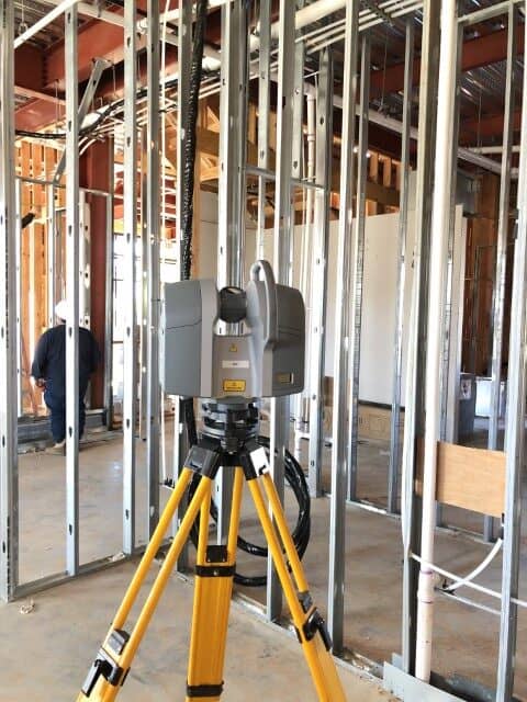
- Construction and Architecture - Terrestrial scanning facilitates the creation of accurate as-built models, aiding architects, engineers, and construction professionals in designing projects that integrate seamlessly with existing structures.
- Infrastructure Development - When developing infrastructure, be it roads, bridges, or tunnels, having a comprehensive understanding of the terrain and its nuances is paramount. Terrestrial scanning provides this level of detail, allowing for more informed decision-making.
- Archaeology and Heritage Preservation - Terrestrial scanning plays a crucial role in documenting historical sites and artifacts, preserving them digitally for future generations.
- Environmental Monitoring - Surveyors can use terrestrial scanning to study landscapes, monitor vegetation, and assess erosion, aiding in environmental conservation efforts.
Challenges and the Future
While the collaboration between land surveyors and terrestrial scanning is undoubtedly potent, it's not without challenges. Handling and processing the vast amounts of data can be daunting. Moreover, integrating this new technology into traditional surveying workflows requires training and adaptation.
However, these challenges are being addressed with advancements in computing power and software tailored for terrestrial laser scanning data management. The future promises even more seamless integration of terrestrial scanning into the land surveying process, with augmented reality (AR) and virtual reality (VR) set to play larger roles in data visualization.
In conclusion, terrestrial scanning is more than a technological advancement; it's a paradigm shift in how we perceive and interact with our physical environment. With their expertise and insights, land surveyors are at the forefront of this revolution, ensuring that the digital replicas we create with TLS are true, accurate, and valuable reflections of the real world. The synergy between land surveyors and terrestrial scanning isn't just about capturing data—it's about reimagining and reshaping our world with precision and vision.