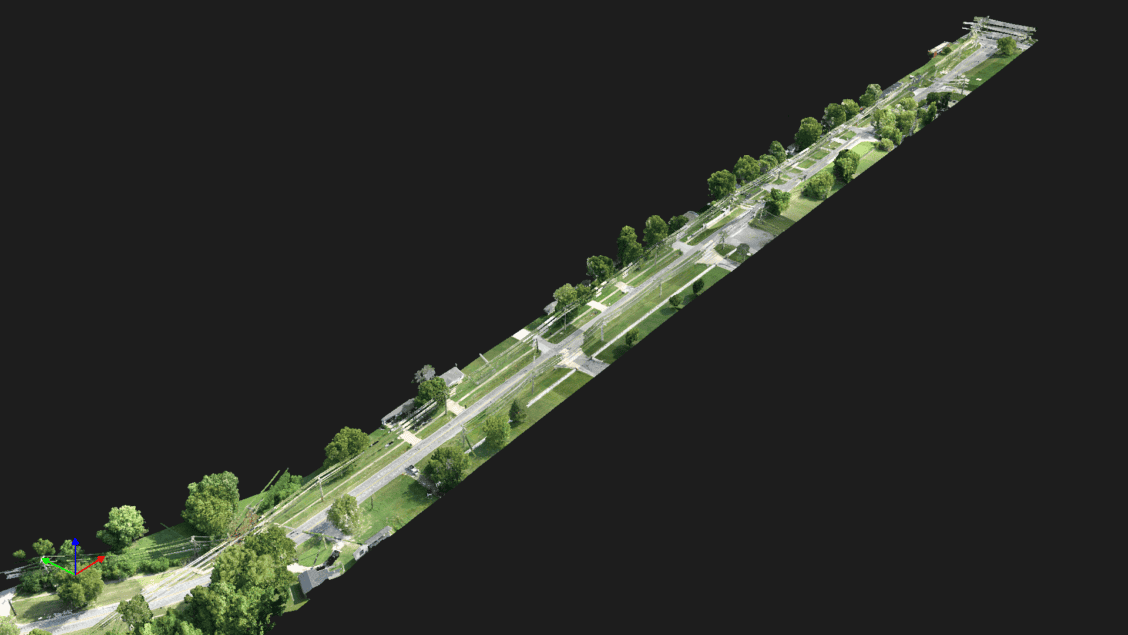
LiDAR registration isn’t fully automatic. Proper planning, QC, and expertise are essential to avoid errors and ensure accurate, high-quality results.
Precision Scanning for Industrial Facility Moves
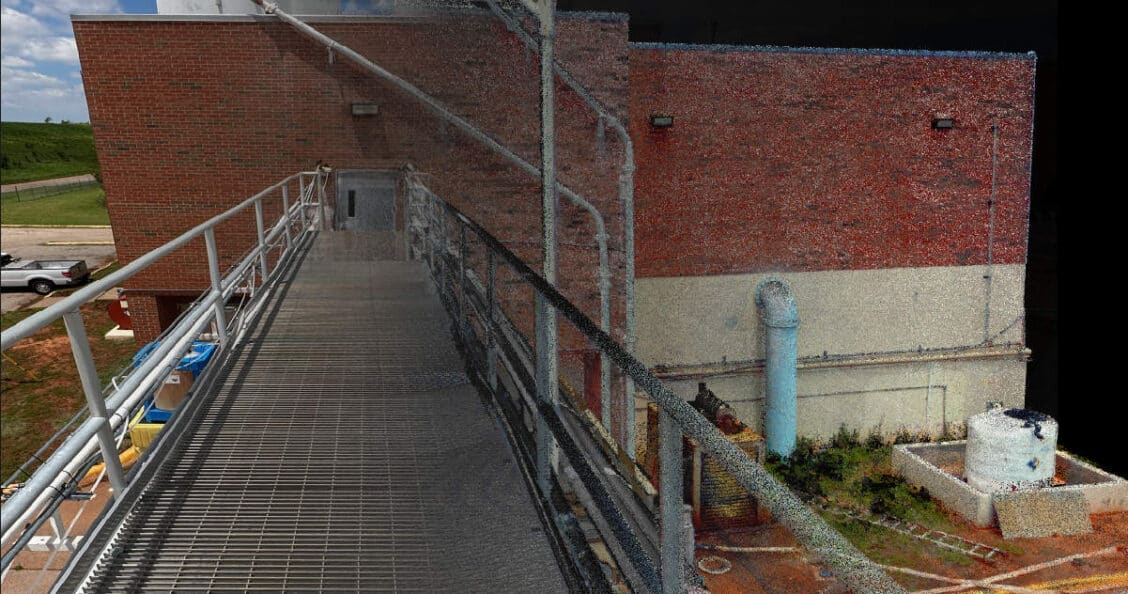
High-precision 3D scanning ensures accurate facility relocation by capturing detailed infrastructure data for seamless disassembly and reconstruction.
Land Surveyors are Essential for LiDAR Success
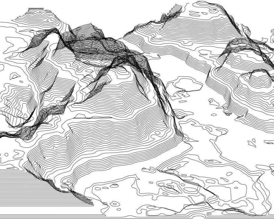
Learn why licensed land surveyors are essential for your LiDAR and topographic survey success.
Topographic Surveys in Oklahoma
Learn about Oklahoma’s Minimum Standards for topographic surveys and how professional land surveyors uphold these guidelines to ensure accuracy in every project.
Understanding Elevation Certificates: Why you Need a Licensed Surveyor
How a licensed land surveyor can help with an elevation certificate.
Understanding Boundary Surveys: A Guide for Homeowners and Buyers
Boundary Surveys: What Every Homeowner Needs to Know
Manual Oversight in an Automated World
In the ever-evolving landscape of modern technology, few innovations have had a more profound impact than terrestrial scanning.
Beyond Automation: Why Machines Can’t Replace Land Surveyors in a Digital Age
How does a land surveyor adapt and embrace new technology.
The Vital Role of Land Surveyors in Terrestrial Scanning
Terrestrial scanning, a groundbreaking technology that has revolutionized how we capture the physical world in digital detail, has swiftly become a cornerstone tool for land surveyors. With its capacity to …
“Hitting the Mark: The Dance of Precision and Accuracy in Land Surveying”
Precision and accuracy are terms familiar to the land surveying profession, but how does it affect your land survey.


